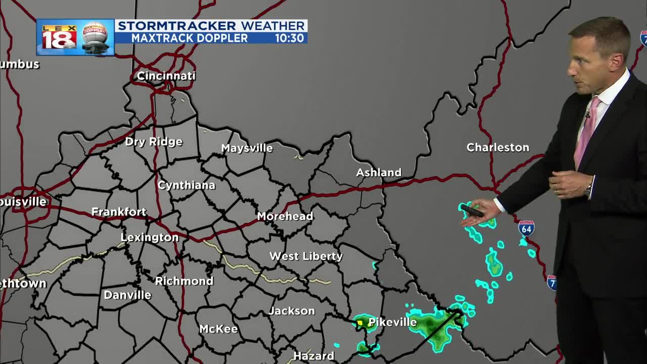
Not much in the way of change for the forecast this first week of July. Temperatures are still soaring in the mid to upper 80s. Factor in the humidity and the heat index is reaching the upper 80s or low 90s. The MaxTrack is mostly quiet, but a few isolated thundershowers are certainly possible through the late afternoon and evening.
Heat and humidity are ramped up every day through the week thanks to a persistent heat ridge in place. We will begin to back off temperatures slowly, but the day-to-day will not be noticeable. The heat index will stay in the low 90s all week. Overnight lows will only dip into the low 70s. The only cooling mechanism will be the isolated thundershowers that bubble up from the heating of the day. These storms will be so isolated that a location may be experiencing a torrential downpour, while just a few miles away, things will still be dry, but also hot. This pattern holds on through the end of the week, with slightly better chances for storms towards the weekend.


