We’re tracking a potent post-Christmas Upper Midwest winter storm and a deep south severe storm threat late in the week. Fortunately Kentucky will run the gap, avoiding both. But we are in for gusty wind and yet another round of rain Thursday & Friday. Showers will develop and overspread the area Thursday afternoon with locally heavy rain & rumbles of thunder this evening & overnight.

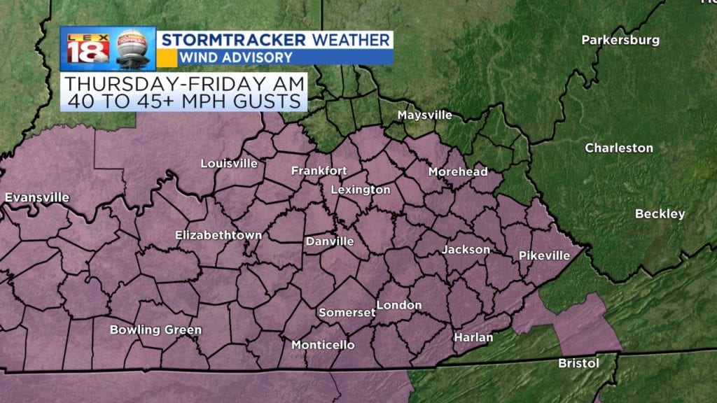
Our primary issue is a tightening pressure gradient leading to very gusty wind. A wind advisory is in effect Thursday morning through Friday morning. Watch for peak gusts of 40-45+ mph, isolated gusts around 50 mph will be possible. The combo of wind gusts & wet roads from incoming rain could make driving dicey, especially if you drive a high profile vehicle.

Multiple waves of showers, a few thundershowers and locally heavy rain will put down 1″ to 1.5″ of rain- with the ground already saturated flooding is possible. A flash flood watch is in effect for southeastern counties through early Friday afternoon.

