The weekend is just around the corner! But unfortunately it’s not good news when it comes to the weekend forecast.
It’s no secret it’s been really hot and humid around these parts lately. We’ve got one more hot day on tap tomorrow before some cooler days are here. The transition will be a little bumpy. We are tracking a cold front moving out of the Central Plains. There is a severe thunderstorm and flash flooding threat across parts of the Plains and Midwest.

The front will sweep through the Northeast and parts of the Ohio Valley Friday. A line of storms is expected to assemble during the afternoon. The severe threat will be focused on central Ohio, Pennsylvania, and New York. The good news for the Bluegrass, the line is expected to weaken as it approaches during the late evening hours.

Friday afternoon will include chances for an isolated storm or two. The kickoff for high school football games isn’t looking too bad either. The line will march into central Kentucky after the Friday night lights have been turned off. Rumbles of thunder will continue through the overnight hours.
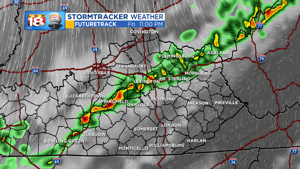
Lightning will be the greatest threat for high school football players and fans, and band members. Again as the line approaches it is expected to weaken. Still gusty winds, hail, and localized downpours will be possible.

The front will stall out across southern Kentucky this weekend. Showers and thundershowers will be around throughout the weekend. And it will be much cooler!
