Soggy, gray, and dreary. That’s how we’ll describe the forecast over the next several days. We are tracking the remnants of Hurricane Willa to spread rain across the Southeast and the eastern seaboard through the weekend. Waves of rain will make it’s way into the Bluegrass.
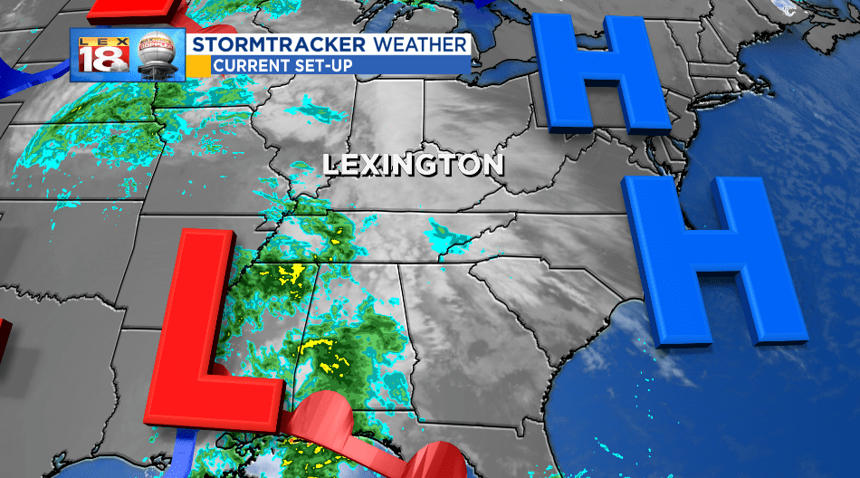
Since making landfall along the Pacific coast of Mexico Wednesday morning, Willa has quickly transitioned to an extra-tropical system. The remnants low is tracking through the Gulf Coast states today. Clouds have started streaming into the Bluegrass and will be followed by showers overnight as the low slides northeast.

Keep the umbrella handy tomorrow. We are tracking off and mostly on rain to close out the work week. This low will zip right on through eastern Kentucky, which will keep fairly steady, all-day rain around. We are tracking Friday’s rain to taper off overnight. There will more of a break from the soggy conditions Saturday.
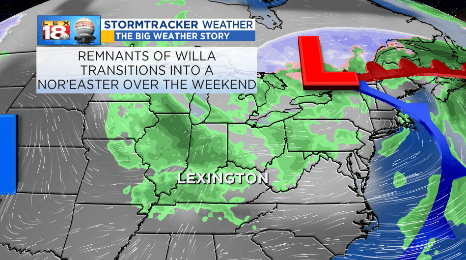
The remnants of Willa will transition to a nor’easter as it tracks up the eastern seaboard this weekend. The system will bring rain, even a little snow, and windy conditions to the Northeast. After a mini reprieve Saturday, more rain will track into the Commonwealth with a new system. The second disturbance of the weekend will bring more rain, possibly thunder as a part of the grand finale on Monday.

We are tracking rain to come to an end late Monday. Once all is said and done 1 to 1.5 inches of rain will possible for the Bluegrass, meanwhile southeastern Kentucky could receive up to two inches. Tuesday will be a better day – sunshine returns and temperatures start warming back up.
