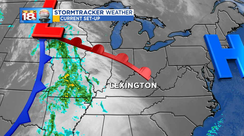
We are tracking chances for rain that will bookend the weekend. The first rain, moving out of the Mississippi Valley, will arrive in central Kentucky after 11 PM. The good news is the majority of the rain will fall through the wee hours of morning. Pockets of moderate to heavy rain will be possible. Activity will become more “showery” Saturday morning before wrapping in the afternoon. The wind will also pick up as this system moves through with gusts up to 30 mph. The wind will begin dying down as the showers wind down.
Outside of scattered showers and damp conditions early in the day, fans will have the best scenario weather-wise for the Governor’s Cup. We are tracking some bits of sunshine to break through later in the day. Temperatures will remain mild with kickoff temperatures near 50°. Overall not a bad forecast for the final game of the regular season.

Conditions will remain dry for travelers on Sunday. It will also be a warm day with highs in the low to mid 60s! But don’t get used to this warmth. We are tracking a more potent system to track out of the Midwest late Sunday followed by a blast of Arctic air. Before the cold shot arrives, we will see showers return Sunday evening. Much like tonight, rain will overspread the area Sunday night. There will be a chances for flakes to fly on the very tail end Monday morning. By that time the bigger story will be the bitterly cold air that is settling in.

You probably know it already, but we are on pace for the wettest year on record. Currently we are in third place with an annual precipitation total of 65.26″.

We only need 1.09″ of precipitation between now and the end of the year to overtake the top spot. This weekend’s rounds of showers will nudge us closer to the top spot. Moving into the second wettest spot is almost a given by the time we talk Monday evening.
