‘Tis the season of going from winter one day to spring another. This morning’s snow is already gone, and the rain has already ended. There will be a break in the action this evening and into the first half of Saturday.
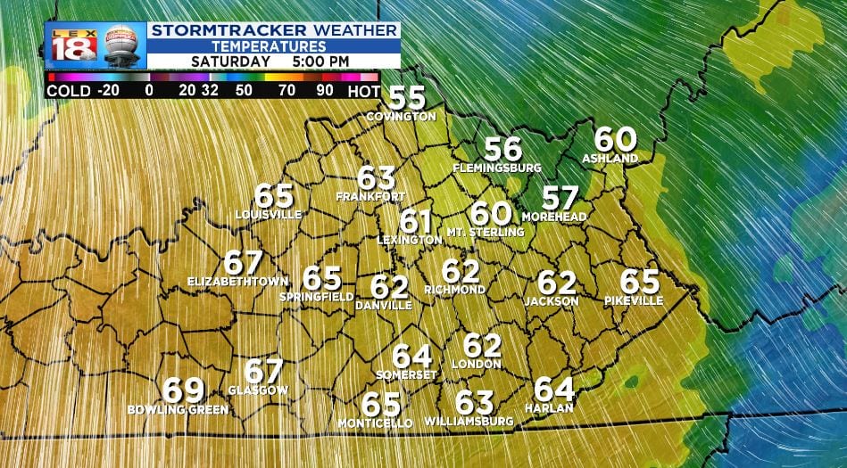
Spring will be here all weekend. First and foremost, there will be a noticeably bump in temperature. Highs will go from the low 40s today to near 60 tomorrow. Even Sunday when it’s slightly cooler, it’s still going to feel great!
The wind will be another factor tomorrow. A warm front will kick up the wind as it lifts through the Bluegrass. Even outside of thunderstorms, gust winds will be possible with gusts up to 45 mph. The wind will start to relax once the cold front passes through Saturday evening.

The other spring headline will be the potential for gusty storms. A potent storm system is brewing across the Rockies. The strong low will move into the Upper Midwest Saturday afternoon. Heavy, blowing snow is expected across the Northern Plains and Great Lakes. Meanwhile, we will be on the “warm” side of this system. There is the potential for severe storms over the Mississippi Valley. A few strong thunderstorms could move through the Bluegrass ahead of the cold front late Saturday afternoon. Gusty winds and heavy rains will be the primary threats. Storms will diminish late Saturday night.

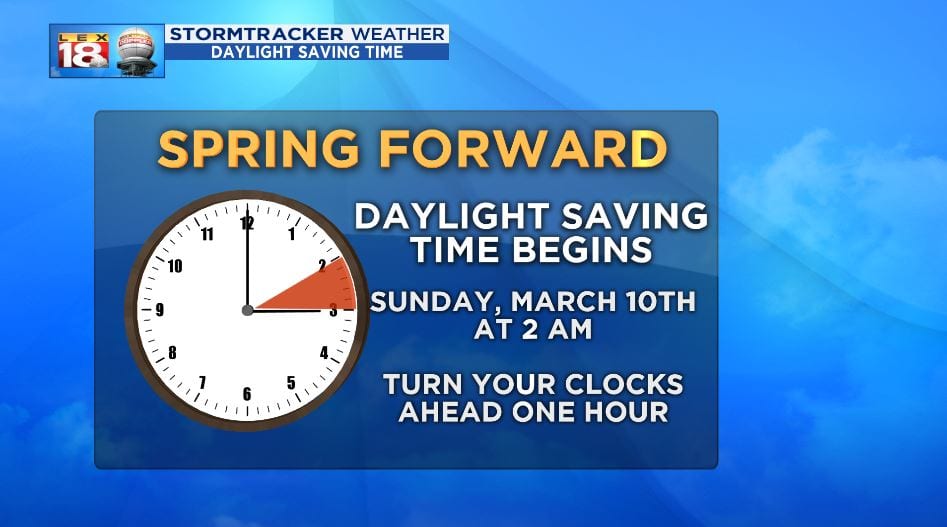
The clock is also springing forward. Daylight Saving Times begins early Sunday as 2 AM becomes 3 AM. Yes, you’ll “lose” an hour of sleep this weekend. One benefit of the time change is that the sun will set an hour later.