After a few days with sunshine and warmth, an active pattern has set up to bring us through the rest of the week and upcoming weekend. Wednesday brings in a slight chance for severe weather as a potent cold front dives south. Thanks to the sunshine through the middle part of the day, the atmosphere has had a chance to “reset” itself prior to the incoming front.
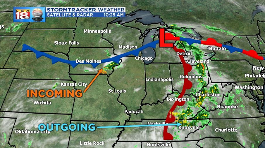
The setup currently has a low sitting in the Great Lakes and moving eastward. The warm front associated with it brought showers and storms early this morning to many in the central part of Kentucky. Those storms continue to push east and will depart the state in the afternoon.

The cold front attached to the same low will be diving south through the course of the day and will arrive in northern Kentucky this evening. This is where the strongest of the storms is projected. A distinct line will dive south, but strong storms will be in clusters.
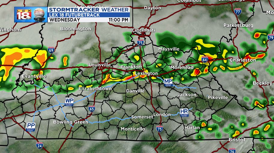
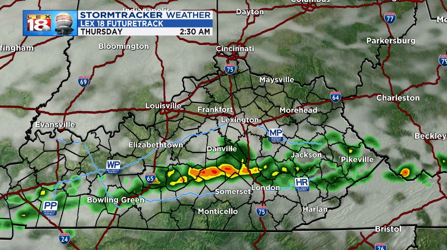
As the front pushes south, the storms will continue, but will weaken. Still strong rounds of rain and wind are expected through the early morning hours tomorrow morning.
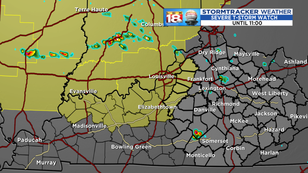
A SEVERE THUNDERSTORM WATCH has been issued to cover a few of our western counties until 11:00 PM. The watch means that in the counties highlighted the ingredients will be prime for storms to reach severe criteria. Damaging wind gusts and hail are the primary threats. Know where your shelter would be if you need to reach it quickly. Be ready for severe thunderstorms to occur.
Conditions will be present through the time periods described above for severe weather to occur. Daytime heating will allow these storms to grow strong to severe as they cross the Ohio River. The entire forecast are is under a “slight” risk for severe storms.

The main threat possible with these storms will be damaging wind gusts. Large hail is also possible under the strongest cells. Some cell rotation is possible, however the threat for tornadoes remains low. Secondary threats will include torrential rainfall and frequent lightning.

Collective rainfall from the storms is expected to amount between a quarter inch and up to one inch.

So for tonight, expect mostly cloudy skies and a little bit of a wind pick up ahead of the storms. Rain will move in north and along I-64 by the late evening and will cross into southern Kentucky tomorrow morning.

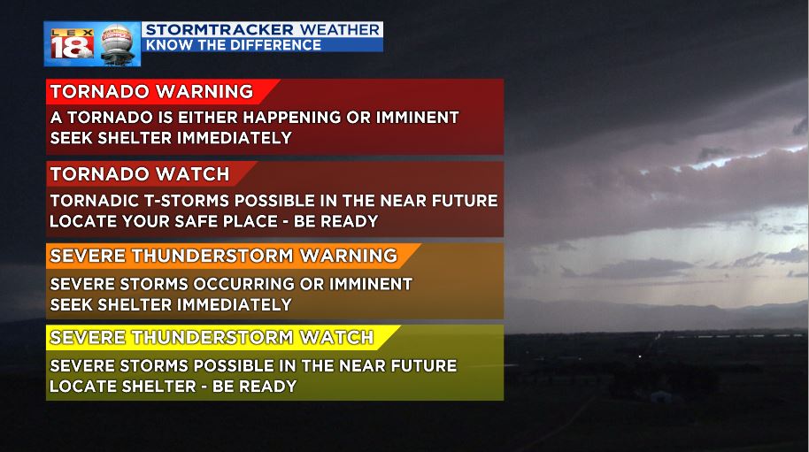
Before severe weather begins, it’s always good to refresh your memory on the differences between a watch and warning. More information on that can be found at: Watch Vs. Warning