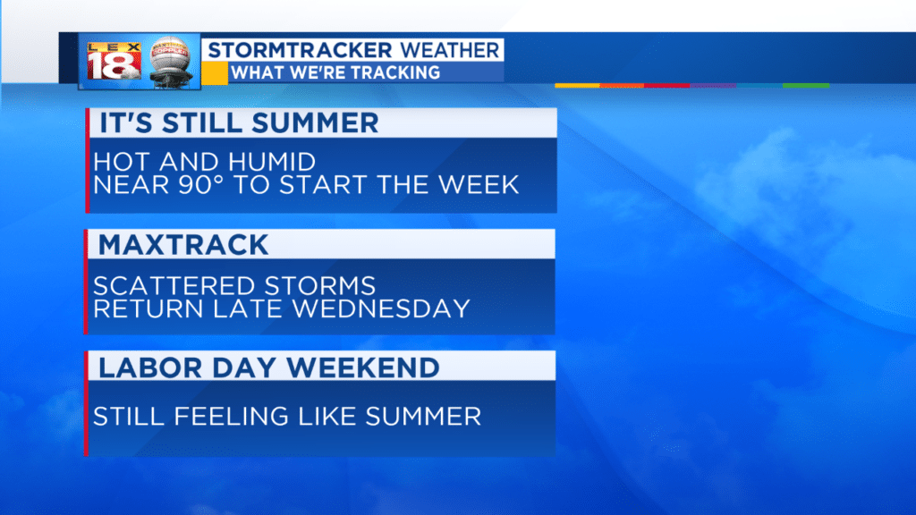
This week brings the end of Meteorological Summer. But summer isn’t going away quietly. A steamy stretch will continue over the next several days. We are tracking highs near 90° to start the week. There won’t be much room to cool off overnight with lows in the lower 70s.
High pressure will keep us relatively dry the next two afternoons. Daytime heating may fuel a pop-up storm or two, otherwise that’s it. A cool front will be knocking on the door as high pressure drifts east mid-week. We are tracking scattered storms to return late-day Wednesday. There will be more clouds and a better coverage of showers and thunderstorms on Thursday. Once the boundary clears, we will see more typical isolated afternoon storm chances Friday and through the long Labor Day weekend. All the while temperatures will remain near- or slightly above-average.
Check out the work week, and Labor Day weekend, forecast over on the Weather page or on the *free* LEX 18 StormTracker Weather app.