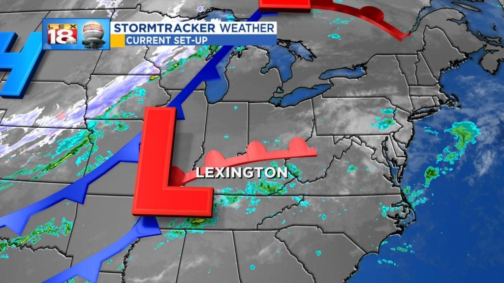
What a week it has been weather-wise. Remember last Sunday when it was almost 90°? Hurricane Michael and a cold front were the game changers. Now it’s full-on fall in the Bluegrass. We are tracking another blast of Canadian air this week, which will send us even farther into fall.
Before we get there, we are tracking more showers. Today’s wet, gloomy, and downright “raw” conditions will spill over into the start of the new work week. Two systems – the remnants of Sergio from the Pacific and a cold front draped across the middle of the country – will meet up in Kentucky. Widespread rain will return late tonight. Some rain could be locally heavy at times Monday. For the most part it will be more of a nuisance light rain that could result in an additional half inch of rain. Showers will taper off Monday evening.
Meanwhile, temperatures will be a little backwards. We’ll reach our high early in the day tomorrow. By the evening temperatures to slip in the upper 40s before dropping into the upper 30s overnight. We are tracking more brisk and chilly days to follow. Highs through mid-week will only be in the low to mid 50s. Mornings will be cold. Cold enough that Thursday morning will bring Lexington’s first frost threat of the season.