It’s that time of year. Daylight Saving Time ends at 2 AM Sunday. Turn your clocks back and enjoy that extra hour of sleep. It’s also a good time to change the batteries in your smoke and carbon monoxide detectors.
We will see another pleasant November day after we fall back. We are tracking skies to become partly cloudy with highs climbing into the mid 60s with the help of a breezy south wind. A weak system Sunday night may produce a few showers around central Kentucky. Anything that falls will mainly occur while you’re sleeping.
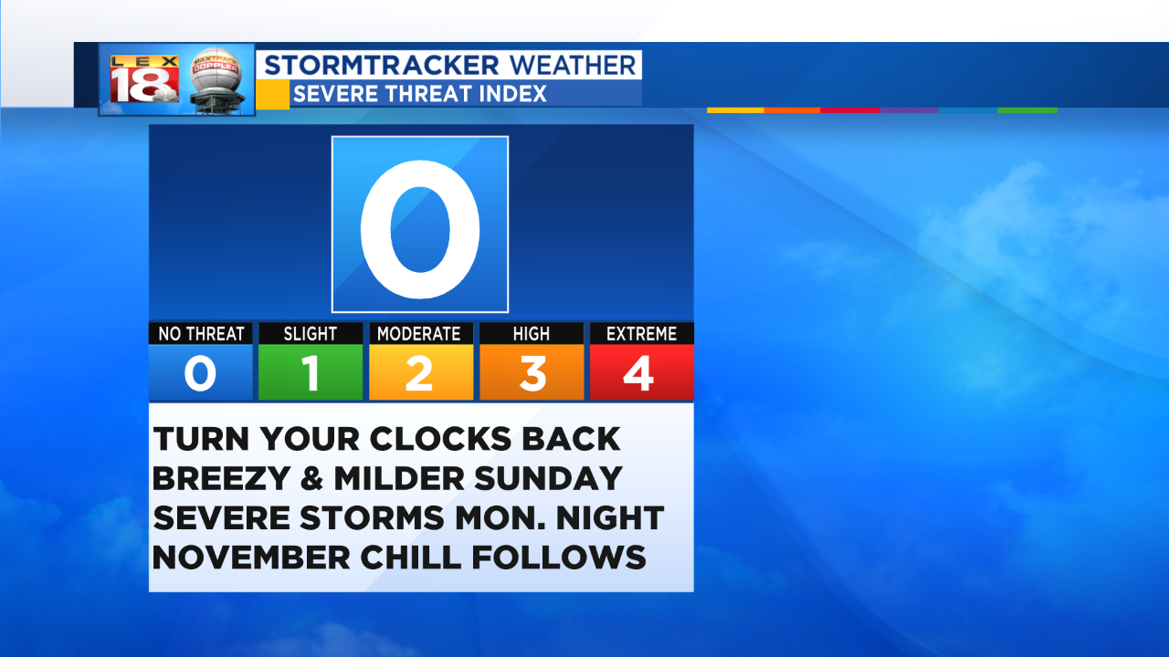
It’s also the time of year for potent storm systems to track through the Bluegrass. After a breezy and milder day tomorrow, we are tracking the potential for strong and severe thunderstorms Monday night through early Tuesday. This will be a tightly wound system moving out of Arkansas and Missouri. The Bluegrass will be in the warm sector of the approaching low by late-day Monday. We are tracking a line of strong to severe thunderstorms to hustle through the area overnight. The Severe Threat Index will be elevated due to the threat for heavy rain, strong winds, and even isolated tornadoes with this nighttime event.
The timing will make this episode could make things more dangerous. Be sure you have a way to get weather alerts, like the StormTracker Weather app. We are tracking this episode closely. Stay with the LEX 18 StormTracker Weather team for the latest updates.