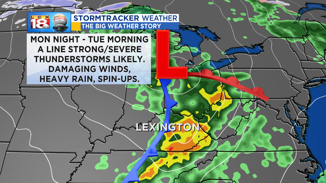
Throughout the weekend we have been tracking the potential for strong to severe thunderstorms Monday night through Tuesday morning. The likelihood continues to increase. A potent and progressive fall system will track out of Missouri late Monday. The associated cold front will trigger a line of strong to severe thunderstorms that will move right through central and eastern Kentucky.
The LEX 18 StormTracker Severe Threat Index will be elevated to at least a Level 1, or slight risk, starting Monday afternoon. The main event will come in the form of a squall line, or a line of strong thunderstorms, late Monday night. Given the nature of these storms, damaging winds will be the primary threat. Torrential rainfall and brief spin-ups also can’t be ruled.
Storms with this fast-paced system will race through the Bluegrass. We are tracking the line to be in and out of the Commonwealth by mid-day on Election Day. Strong winds will continue behind the line of storms and cold front. Gusts up to 40 mph will be possible through late Tuesday. Skies will also start clearing and temperatures will fall during the second half of the day.