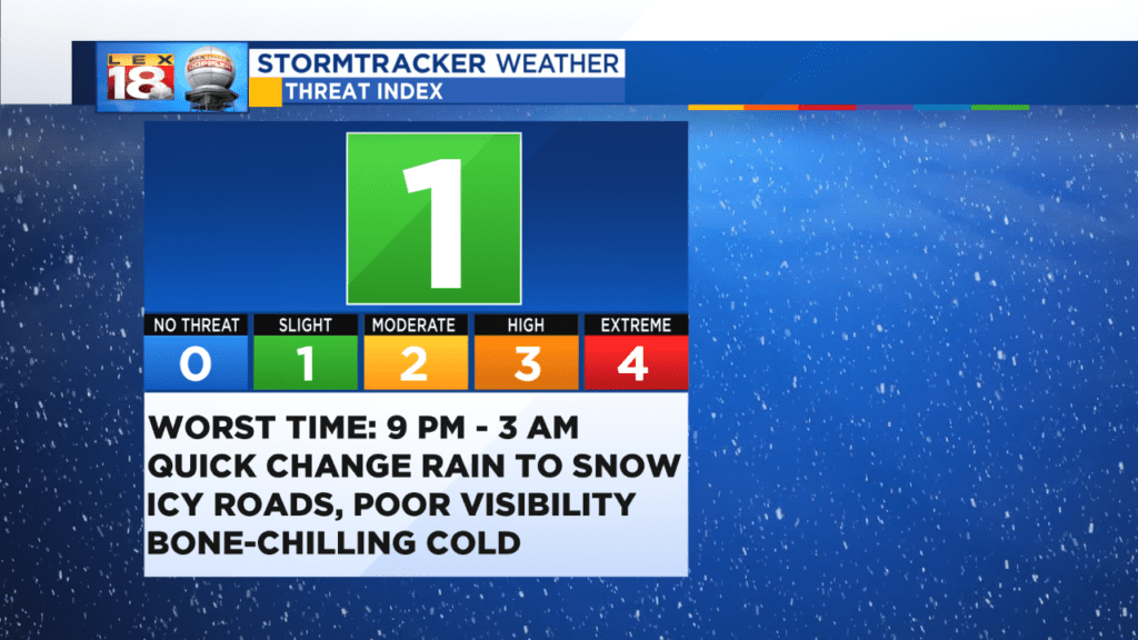
The LEX 18 Winter Threat Index sits at a Level 1. Today’s rain is still on schedule to quickly change to snow later this evening. A Winter Weather Advisory is now in effect until 7 AM Sunday. The worst time to be out on the roads will be between 9 PM and 3 AM.
An Arctic front will blow through the Bluegrass. Temperatures will plummet from west to east in the process. Rain will change to snow; a brief period of snow will be possible. The snow will accumulate overnight. We are tracking the potential for one to three inches for most of the central and eastern Kentucky. A little less to the southeast of Lexington, and a few more inches closer to I-71 through northern and western Kentucky. Snow showers will end Sunday morning.
The roads won’t be pre-treated so slick and icy conditions will readily develop. Also the wind will be howling. Blowing snow will greatly reduce visibility. Be smart and use extreme caution if you must be out tonight.
The second part of this winter storm will be felt for days. The bone-chilling cold. Temperatures will drop some 20 to 30 degrees overnight. Highs will only be in the 20s the next two days. But worst of all wind chills will be in the single digits, if not near 0° Sunday.