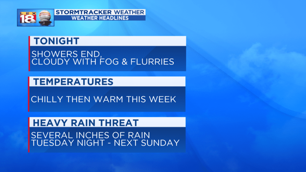
Today’s foggy, misty, and wet conditions were perfect combination for a lazy Sunday. The rain will exit early, then we’ll be left behind with clouds, fog, and flurries late tonight.
Monday will be a rare dry day this week. Skies will be cloudy and temperatures will be colder, though. Highs to start the week will be in the ballpark of 40 degrees. We’ll see some bits of sunshine Tuesday before our next heavy rain threat begins. Rain will lift northward Tuesday night. There is a small chance for a little wintry mix at the onset for the Bluegrass. We will see repeated rounds of rain through next weekend. Widespread rainfall amounts of three to six inches are expected across the Commonwealth with higher amounts possible for southern Kentucky.
All of this rain will likely lead to localized flooding and aggravate river flooding. Rises on the Cumberland and Kentucky rivers are likely. If you live in the vicinity of a river, stream, or creek watch the water levels this week. Never drive through flood waters.