Wasn’t it nice seeing the sun today? Unfortunately this will be a very brief dry stint. Clouds are already starting to increase. The next round of steady rain will arrive from the south late tonight. Areas south of Cumberland and Hal Rogers Parkways will see showers first. Likely before midnight. The swatch of rain will continue lifting north towards I-64 by morning. Keep the umbrella handy tomorrow. Rain will remain fairly persistent throughout the day.

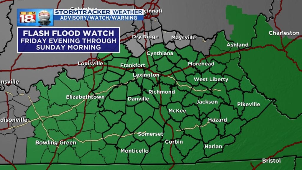
The threat for more heavy rain and flooding will be renewed Friday night into Saturday. A Flash Flood Watch has already been posted for central and eastern Kentucky. An additional one to two inches of rain will be possible. Higher amounts are expected across southern Kentucky. Given all of the recent rainfall, the ground can’t hold much more water. Runoff will very quickly lead to flooding, especially following bursts of heavy rain. If heavy rain and flooding wasn’t enough, there is also the potential for some strong, gusty thunderstorms Saturday evening. Gusty conditions could topple trees given the quick-sand-like nature of the ground. Needless to say we are carefully watching the situation.