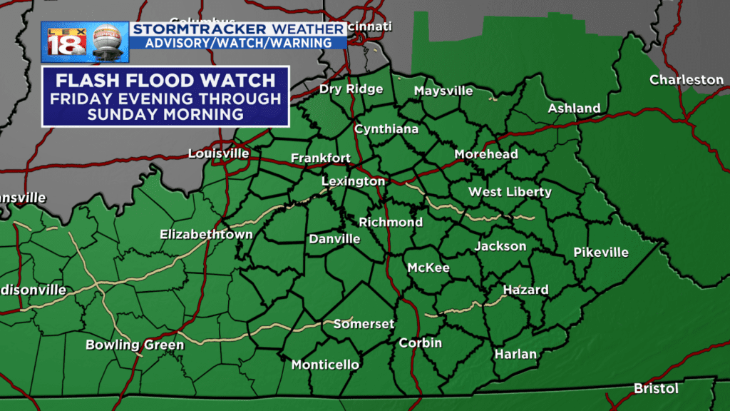
A Flash Flood Watch goes into effect for all of central and eastern Kentucky this evening. Rain will overspread the area tonight and Saturday. On top of the rain that we have already received, additional rainfall amounts of one to four inches are possible.
Flooding is more likely to occur, and may occur quickly because the soil is so saturated. Those living near poor drainage and low-lying areas may need to be on alert. Streams, creeks, and rivers already running high and will continue to rise through this event.
There is also the potential for some gusty storms Saturday evening. The wind field will get cranked up between the warm and cold fronts tomorrow. Thunderstorms will develop along and ahead of the approaching cold front. The severe threat has backed off for central Kentucky, but still thunderstorms will be capable of producing strong to possibly damaging wind gusts. These windy conditions could more easily topple trees due to the waterlogged soil.