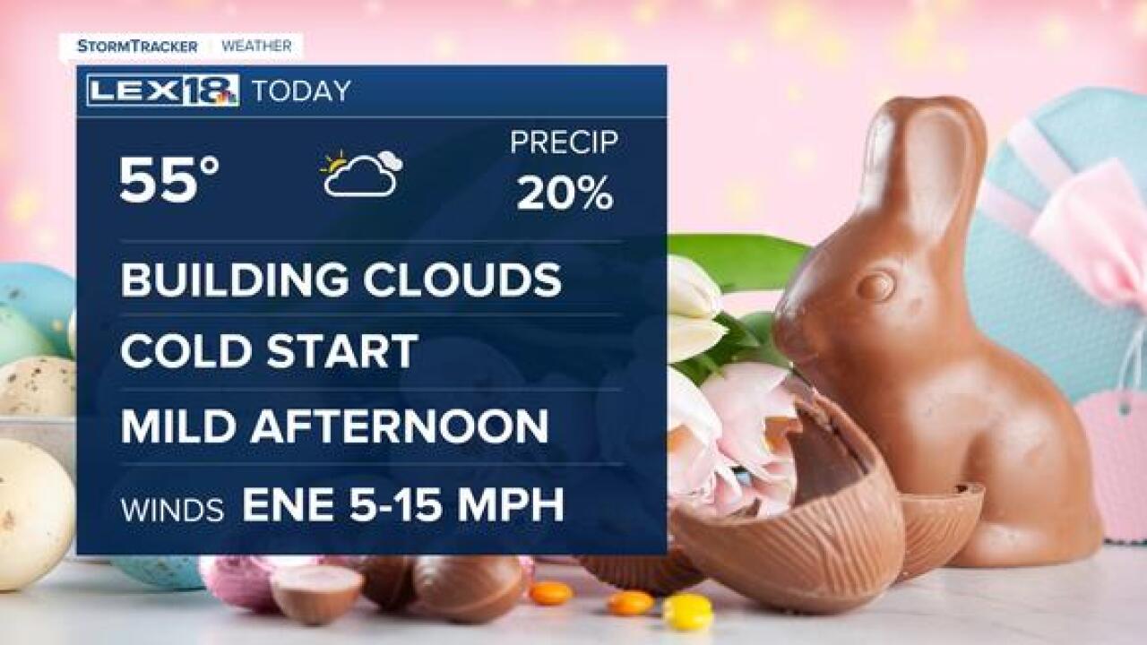

Easter Sunday is starting on the cool side with temperatures cooling into the 30s for most spots in Northern Kentucky. Cloud cover further south is keeping temperatures a little warmer and away from frost category. Frosty conditions are possible through the mid-morning hours.
Cold morning temperatures will become mild afternoon temperatures through the day. We will only warm into the mid-50s for your Easter afternoon coming in short of the past several days. Still, 55 in the mix of sunshine will be a nice day. Clouds will increase through the afternoon ahead of the next storm system.
A low climbing from the southwest along with a cold front diving from the northwest will collide over the region tomorrow. This will bring widespread light to heavy rain, with some rumbles of thunder at times. The rain will start around midnight and continue through the mid-morning hours Monday. Prep for a wet morning commute.
Showers will wrap up through the late morning with only a few residual showers at times. Cooler than normal air will keep us in the 50s for the next few afternoons with mornings dropping into the mid-30s. A few more frost advisories are possible this week. After Wednesday morning, we warm impressively over the rest of the week. 70s and 80s will finally be back in the forecast.
