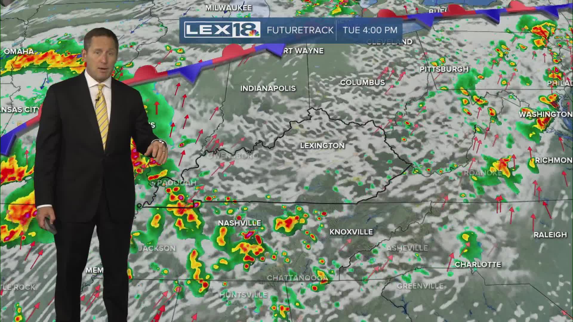


After a round of strong to severe storms and widespread, soaking rain Monday night, Tuesday will end up a little calmer. Morning showers and storms will give way to a mostly cloudy afternoon with highs around 80°. The break won't last long with more active weather firing up overnight into Wednesday. Watch for additional strong to severe storms Wednesday afternoon/evening with damaging wind the primary threat. A cold front will track through Thursday morning with lingering showers and isolated t-storms and cooler highs in the 70s. Expect another 2" to 4" of rain over the next 3 days and watch for localized flooding. We'll clear out Friday and have a spectacular first fall weekend to enjoy.
A Few Lingering Showers and Storms Tuesday
Strong to Severe Storms Possible Again Midweek
