

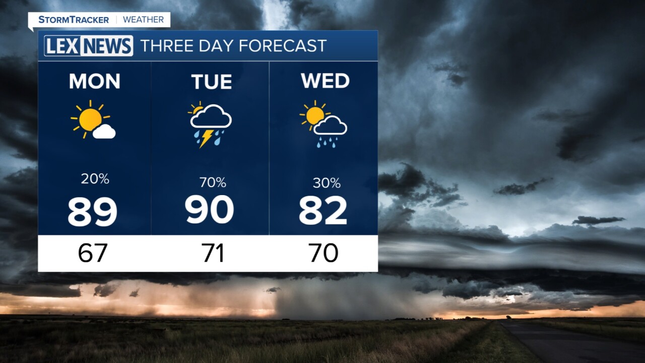


We have a few lingering thundershowers around KY this Sunday evening, but most of this should fade through the night. Monday is looking mostly dry, sunny and hot again. High temperatures should not have an issue climbing well into the upper 80s and feel like the low to mid 90s. It will be a pretty quiet day tomorrow other than a stray thundershower in southern KY. On Tuesday, we are watching as a strong cold front will barrel through the Ohio Valley bringing rain, wind and possibly tornadoes. Lexington and most of our area will be under an enhanced risk (level 3 of 5) for severe weather with all threats on the table. Tornadoes are also a possibility. Once we get past that on Tuesday, we'll cool down, dry out and see some great weather. High temperatures will sit in the low 80s for a few days through the end of the work week.
A quiet Monday before action rises Tuesday
Temperatures will keep hot two more days
