
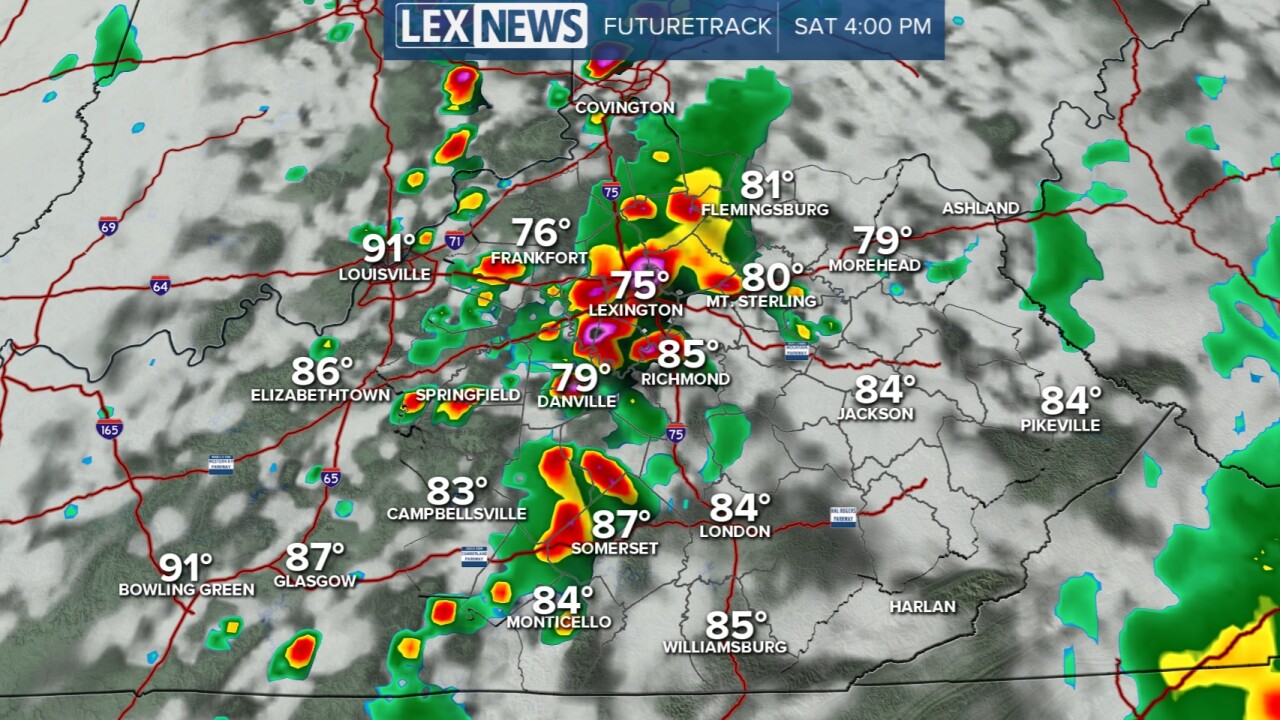


July is wrapping up on a quiet note with more clouds moving in this evening in preparation for rain and storms this weekend. A couple of waves of storms are likely on Saturday with the first being in the morning then another later in the afternoon/evening. Both waves will keep us active on Saturday. Heavy rain is likely and it could lead to isolated spots of flooding. By the end of Saturday, we could pick up between 1 and 3 inches of rain here in the viewing area. Isolated spots over 3 inches is possible. There is also a high wind threat with any thunderstorm. Most of our area is under a slight risk for severe storms. The action will eventually dwindle late Saturday evening, but a few leftover showers will still be around on Sunday as the low spins over us. Temperatures will be on the cooler-than-normal side both weekend days because of the rain, but we will warm up again next week. We'll travel back to the mid and upper 80s by the end of the work week.

