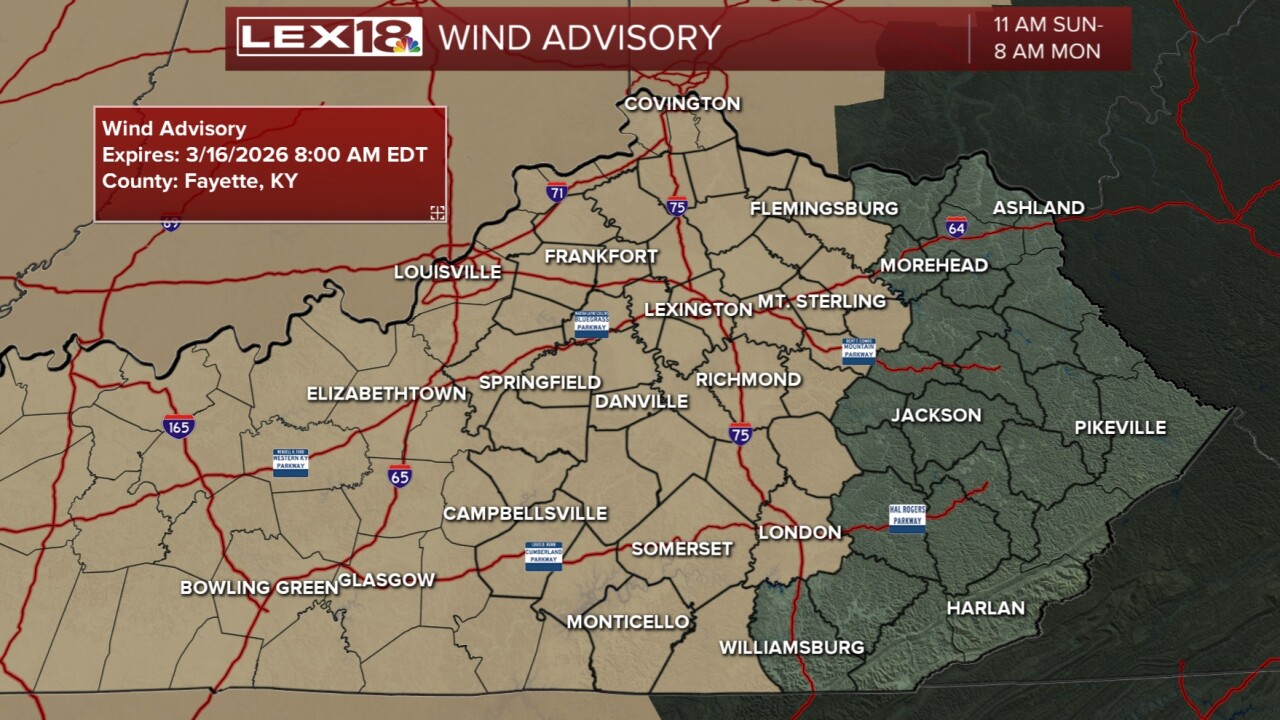


It has been a lovely and quiet Saturday across the Commonwealth and a nice way to move into the weekend. Sunday will become a bit more active as we are anticipating a line of strong storms associated with a cold front to come in. Almost the entire day tomorrow will be dry and warm with the wind picking up again. Gradient winds will be somewhere between 25 and 45 mph through the day with higher gusts in storms. A Wind Advisory will go into effect Sunday morning and last until Monday morning.
The cold front will not sweep through until the overnight period. Best timing for the I-75 corridor will be 10 pm to 1 am Monday. You will need a couple of different ways to receive warnings in the night. The main threat is high wind, but isolated tornadoes are also possible. The greater risk for tornadoes will be western KY. Once we get past the line of storms, temperatures will crash Monday even changing some of the rain over to snowflakes. Wind chills will also drop hard to the teens Monday, and single digits Tuesday morning. It's a classic case of spring time weather whiplash in Kentucky. Stay weather aware!
