


As we roll into the final weekend of the official summer season, it has certainly been feeling like it with high temperatures well into the low/mid 80s today. Soaking up the sun and the warmth is something you'll want to do because we have some BIG changes in the forecast. Sunday will be great...we'll be mostly to partly sunny so there will be extra clouds around but highs should still see the mid 80s.
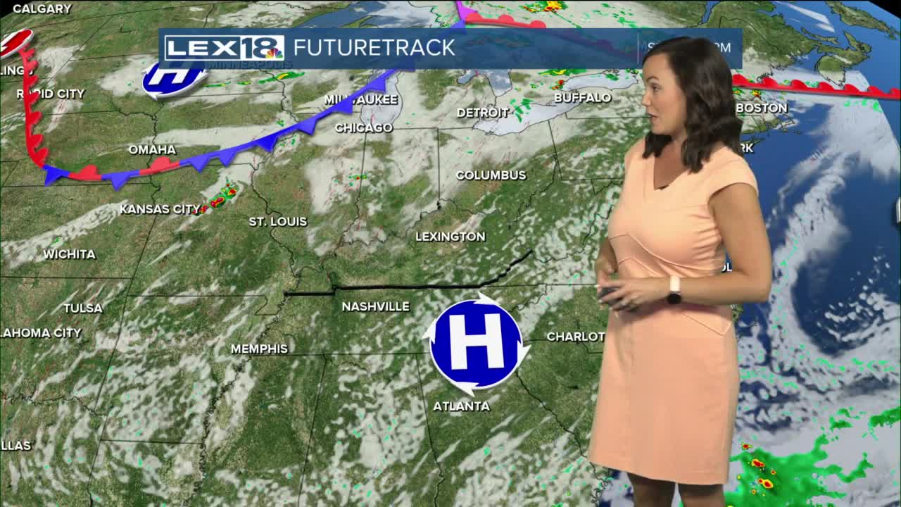
We are watching a cold front for Monday. The potential for rain is there, but the confidence in the storm system holding together as it enters KY from the northwest is low. Still a chance for showers exists, not only Monday but later in the week as well. Midweek will be the warmest with high temperatures soaring into the low 90s for many in our area.
As we near Autumnal Equinox Thursday, a large low pressure with strong cold front glides across the Midwest and into the Ohio Valley. This will eventually send our temperatures plummeting, but the when is still uncertain. It's looking likely that we could free fall down to the mid 70s for highs Thursday then hit the low 70s for highs on Friday. Anyway you look at it, it will be a huge change from summer heat to fall's chill late week and next weekend. Buckle up...it's going to be a wild ride!
