

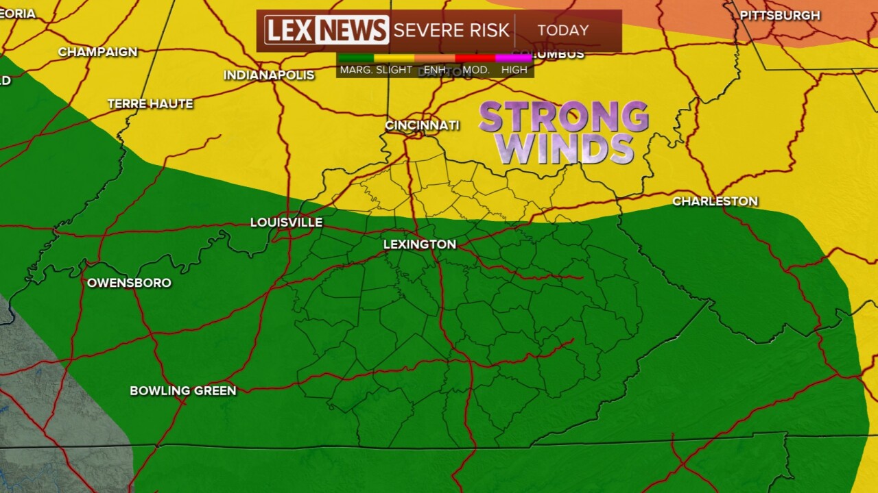


Today has not been an all-day rain, but several thunderstorms have fired up this afternoon and will continue. Any thunderstorm we have has the potential for dumping heavy rain plus holding isolated strong wind gusts. A slight risk for severe storms sits around and just north of I-64 today and tonight, the rest of us are under a marginal risk. A cold front will pass through tonight bringing the chance for scattered thunderstorms, too. Temperatures will press into the upper 80s both weekend days. Sunday will be a little calmer, but we still have a spotty rain chance for the afternoon. Next week we have a few drier-looking days, but we are keeping an eye on Tuesday as that could be another severe weather day. Temperatures will also cool down to the lower 80s by Wednesday.
Cold front brings storms tonight
Some will hold heavy rain and high winds
