

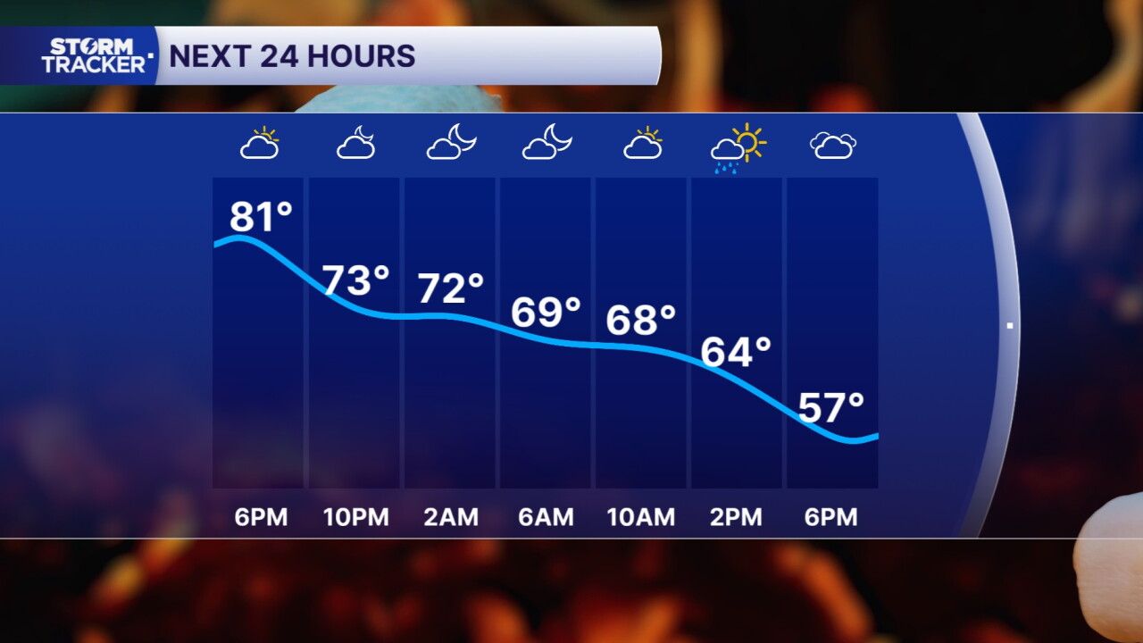


As we near the end of another work and school week, we must talk about more weather changes. Currently, we are between fronts and are still very warm as well as muggy, but cooler air will soon replace this summer-like air mass. For tonight, a lingering rain shower or two are possible along with some fog development. Friday looks to be another mostly gray and gloomy day across Kentucky as the cold front passes the region. Some light rain or drizzle is likely along the front.
Behind the front will come the significantly cooler air just in time for the weekend. Saturday will be the chilliest of the days with sunshine, but afternoon high temperatures of only the mid 50s! Saturday night, under a mostly clear sky, temperatures will fall hard into the mid 30s bringing us our first real chance for frost this season. Sunday starts very cold, then we will warm into the lower 60s later in the day. The whole weekend will be dry as will most of next work week. The cool blast won't last for long as temperatures will slowly climb back up to the low and mid 70s next week.
 Facebook
  TikTok
  YouTube
 Instagram
 Threads
 X
X