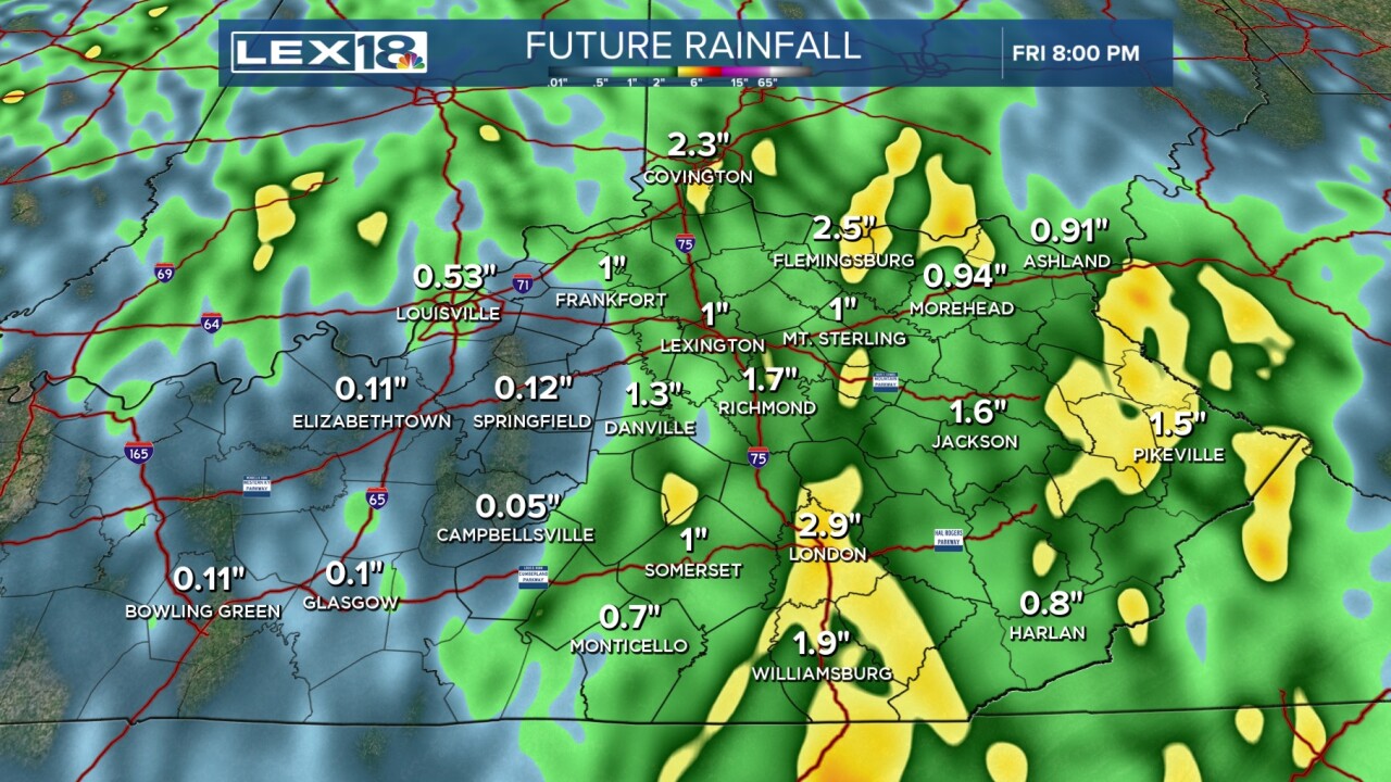
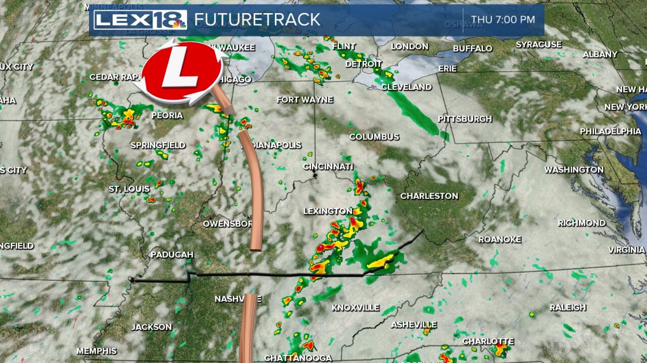
The gloomy weather pattern will be persisting for a couple more days as the closed off low pressure will start to shift north in the Midwest. Unfortunately the worst of the rain has yet to fall, so you'll want to keep the umbrellas around at least through early Friday. For tonight, expect scattered rain showers with some picking up in coverage at times plus an isolated thunderstorm possible. Any strong storm we see will likely be very isolated and mainly in southwestern KY. Into Thursday, we'll see more showers falling throughout the day especially in the afternoon with the potential for a couple of thunderstorms again. Rain totals look to run generally between 1 and 2 inches with a spot or two picking up even more.
From the abundance of clouds and rain, temperatures will be held down into the low to mid 70s with a slightly muggy feel, too. We finally see the low pressure push farther north then eventually east by Friday. That will push the rain out of the state and into the east coast states. As we head toward the busy weekend, we have much nicer and warmer weather moving in. For both Saturday and Sunday, rain chances drop down to near nothing as temperatures soar into the low 80s making it feel like an August weekend rather than October. As we stay mostly dry into next week, the temperatures will remain above normal and warm as well.


