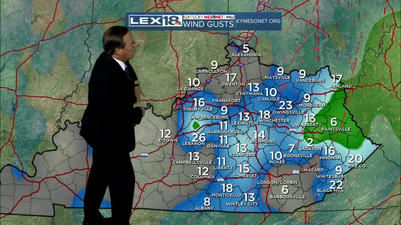


The majority of our work week has been just wonderful with plenty of sunshine and warmer weather, but that has come to an end today as a cold front has been sweeping through this afternoon and evening. Rain showers have been light to moderate most of the time, but the wind has been fierce! We have experienced some gusts up close to 40 mph across the state and we will continue the blustery trend through tonight and Friday too. Friday will bring us some slightly nicer weather while we begin the day calm and dry, but a few leftover showers may be the case through the second half of the day. Temperatures will be on the moderate side tomorrow as the coldest air won't arrive until the weekend.
Look for highs in the mid 50s then the low to mid 40s for both Saturday and Sunday! Most of the weekend looks dry with the exception of a stray shower here and there and the possibility of a snowflake or two mixing in with rain Sunday afternoon and night. Once we get past a cold Monday, Tuesday and midweek look much nicer with sun and high temperatures returning to the 50s and 60s!
