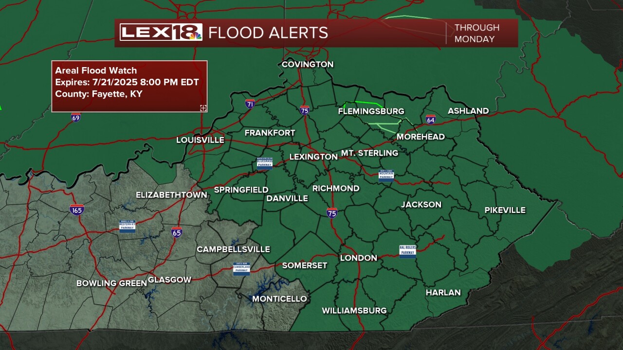


The wrap of our weekend will be just as active as the entire weekend has been as we're still tracking multiple showers and thunderstorms along with the potential for flooding. A Flash Flood Watch is in effect for our whole viewing area until 8 pm Monday. Training thunderstorms and very heavy rain are expected tonight and into the start of our work week. Once we get past Monday, things will settle down. We will dry out for mid and some of late week as high pressure will build for a change. Temperatures will take off to the low and mid 90s by the end of the week. Once the warmth builds, rain/storm chances will make a comeback for next weekend.
