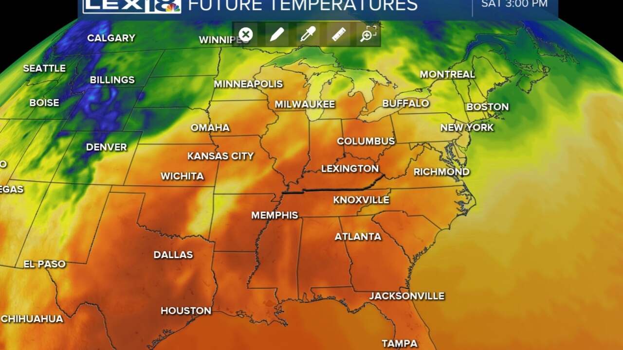


As we near the end of another work week, we still have quiet weather to go around, but changes are coming for the weekend. Friday will bring us some more sunshine and temperatures slightly warming into the mid 70s. This warm bump is only a taste of the warmth to come on Saturday. Into the weekend, we will be firmly inside the warm sector which means we'll see our afternoon highs warm all the way into the low to mid 80s! This surge in heat will be just before the cold front which will usher in rain and some thunderstorms Saturday night through Sunday. Some of the storms will produce pretty strong wind gusts and even gradient winds in the 30-40 mph range. Rain totals are looking to be between 1 and 2 inches by Sunday evening. Next week will be back to the fall-like coolness.
