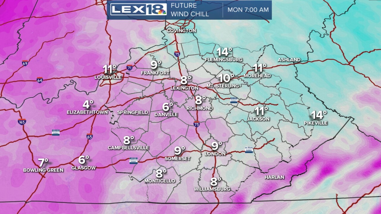


The weekend is wrapping up on a very wintry note as we've seen several snow showers mixed with times of sun today. Only coatings have fallen over much of the state with a portion of eastern KY picking up an inch or so (more in the mountains). As we move into a new work week, we will turn very cold for Monday. With clouds and flurries still around, high temperatures will only work up to around 30 degrees plus wind. That will make the wind chill in the single digits to start. No additional snow accumulation is expected. Once we hit Tuesday, we'll warm to the 40s then the 50s by mid week. A system will bring rain on Thursday as we stay mild. Next Saturday should be the warmest of the week...in the low 60s.
