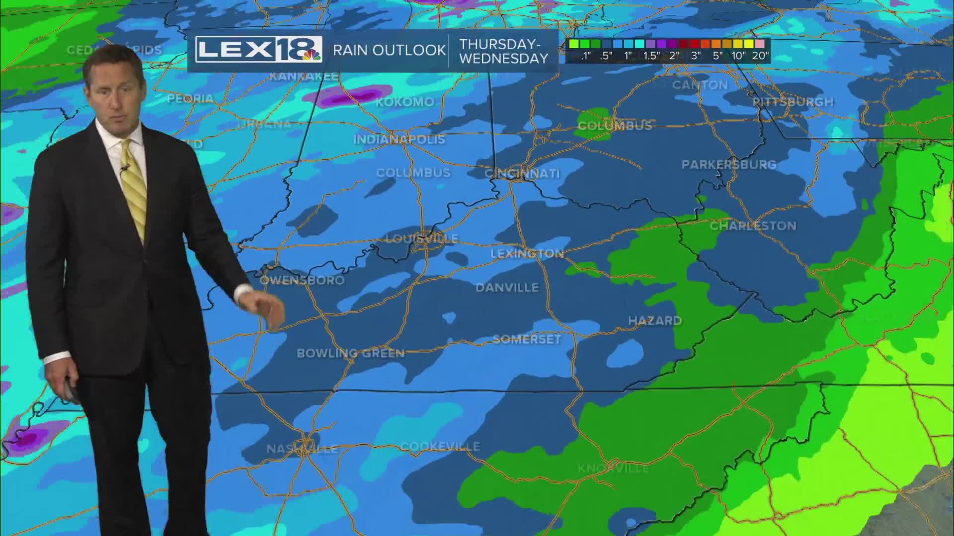


We'll briefly back away from near record highs Thursday, but not by much. Expect highs in the upper 70s in the Bluegrass with low to mid 80s southeast. A round of showers and gusty thundershowers will blow through, mainly late in the morning into the afternoon, weakening as it goes. Watch for a late evening round of strong storms southeast ahead of a cold front that could produce damaging wind and small hail. A marginal risk for severe storms clips southeastern counties Thursday. We'll crank it back into the 80s Friday with more widespread showers and storms likely Saturday afternoon and overnight as a strong cold front sweeps east. A few storms could be strong to severe with damaging wind and hail. Highs will crash to below normal (60s) by the end of the weekend with patchy frost and upper 30s possible Monday morning.
Gusty Showers and a Few T-Showers Thursday
Back in the 80s to Start the Weekend
