

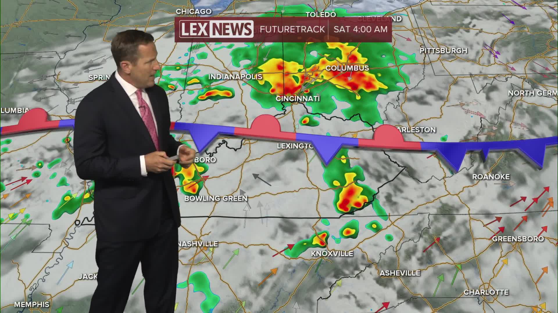


A slow moving front will settle south and stall setting us up for rounds of showers, strong storms and heavy rain the rest of the week. Expect scattered, mainly afternoon showers and storms Thursday driven by daytime heating. As we've seen the last few afternoons, they will be slow movers and capable of torrential rainfall. More widespread precipitation develops overnight into Friday and continues on and off Friday night into Saturday. Overall rainfall totals through Saturday night will range from 1" to 4" but isolated higher totals will be possible in areas hit repeatedly. Stay weather aware and do not attempt to drive through floodwater. Highs will stay in the 80s with muggy air hanging with us.
Heavy Rain Threat Ramping Up
Flood Watch Thursday Afternoon through Saturday Night
