



The weekend thus far has been a bit more active than what we like to see. Spotty to scattered thunderstorms have developed in an area of high heat and humidity in northeastern KY. As we head toward late evening, these will continue to fizzle. The night will be more quiet, but stay warm. High temperatures today have hit the mid 90s so I think we won't have any problem doing that again tomorrow.
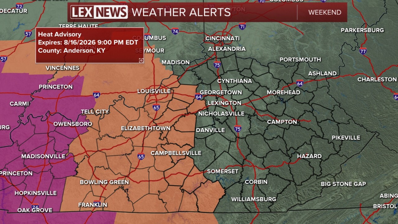
Sunday will start dry and sunny and that will cause us to warm up fast. For the afternoon, highs will hit the mid 90s and still feel like the triple digits. A heat advisory is in effect for Anderson, Russell and Wayne counties until 9 pm. There is also another small chance for a few pop-up showers and thunderstorms in the afternoon...mainly north of I-64. Any storm holds the chance for heavy rain and strong winds.
At the end of the weekend a cold front will finally push through late Sunday night/early Monday. Showers and storms are likely with this front, but they won't be around all day. Post cold front, we get drier and slightly cooler weather for a change.
