

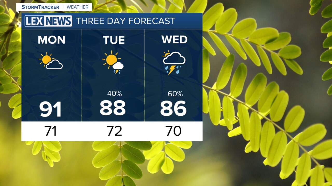


Our weekend is wrapping up with a few thundershowers around southern and far eastern KY, but all should fade into the late evening and night. We will remain mostly quiet overnight with low temperatures in the low 70s. For Monday, we get hot fast with morning sun. Temperatures will warm quickly into the upper 80s to low 90s with heat index values well into the 90s, some even closing in on triple digits again. Monday will be quiet with increasing clouds, but we keep dry.
Tuesday will begin the stretch of active weather as a few complexes of thunderstorms will be moving through the Commonwealth between Tuesday and Friday. Each complex has the capability of producing thunderstorms with torrential rain plus some strong wind gusts. Most of our viewing area will be under a slight risk for severe storms on Tuesday. The heaviest of the rain is likely to fall between Wednesday and Friday. Between 1 and 3 inches is forecast, with far northern and eastern KY looking at upwards of 4 inches. This may create some flooding concerns. Temperatures will fall off to the mid 80s late week.
