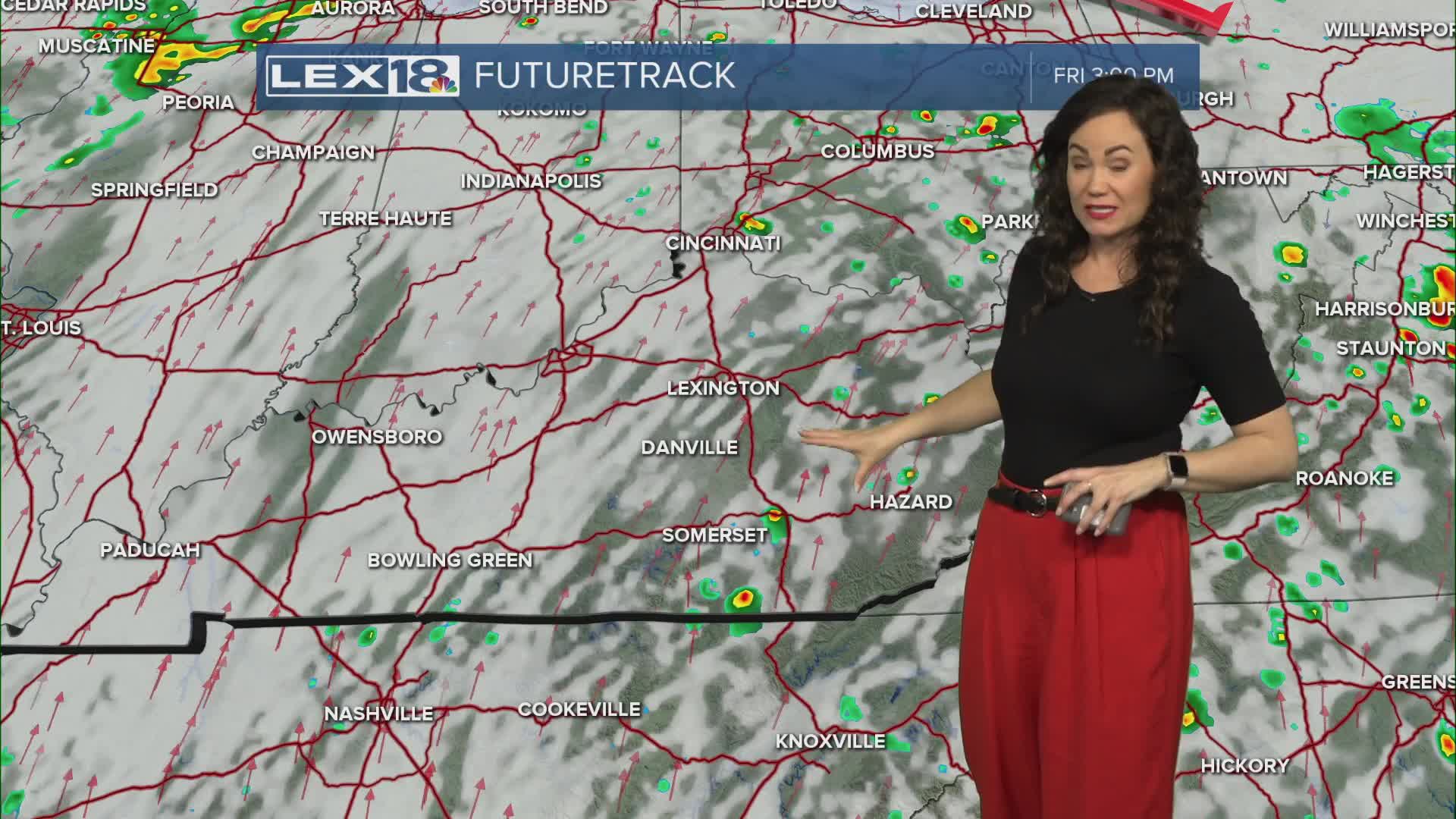


Our week's weather has been active with showers and a few storms, but also some nice warmth and that warmth continues today as we get a break from the rain. Fog and clouds from the morning will clear out this afternoon as we welcome some sunshine. Afternoon highs should not have any problem pushing well into the upper 70s, if not the low 80s. The record high for Lexington today is 77 degrees, so a break is likely. Past today and into the weekend, rain and storms return with a cold front moving in later on Saturday. Most of the state will be under a marginal risk for severe storms, but northeast will be included in a slight risk and threats will be strong winds and small hail. Highs tomorrow will be slightly cooler in the mid 70s then we drop off to the low 60s on Sunday post cold front. Scattered showers and storms are still likely through next work week as we keep warm until late week.
