
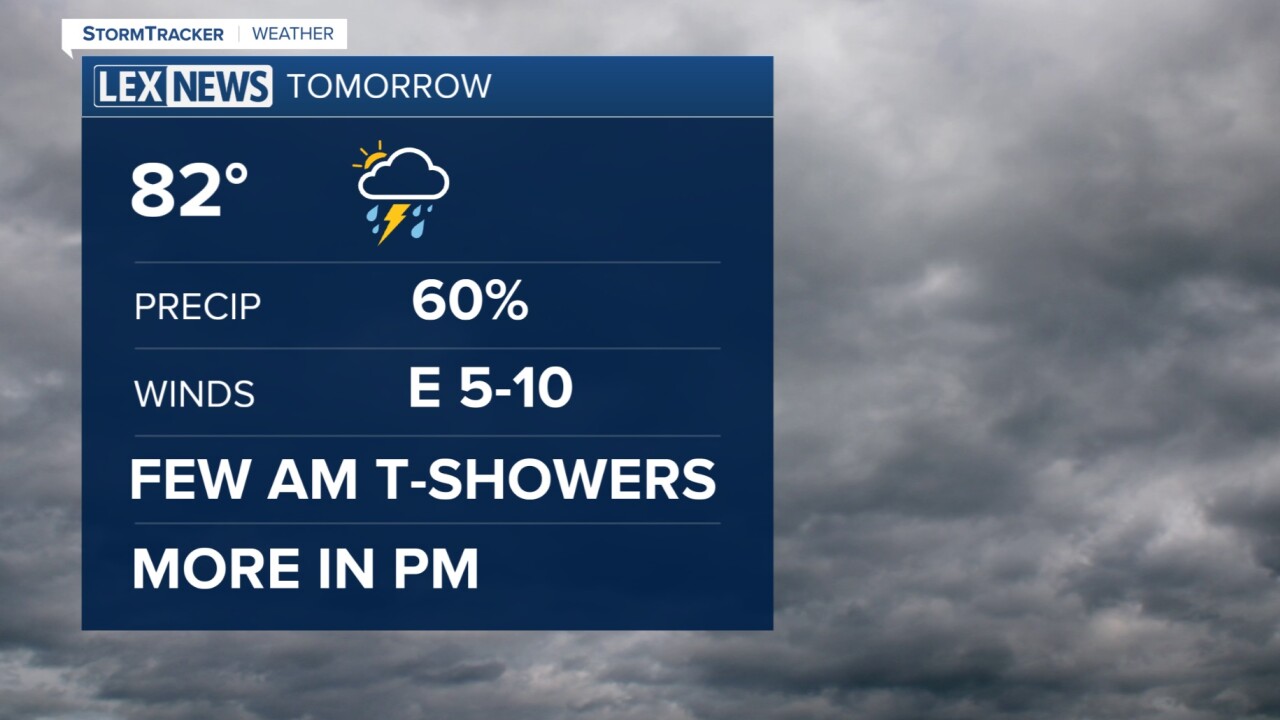


The weekend has gotten off to an active start with some isolated spots of flooding earlier this morning. Most of the day has been hit and miss with the rain, but we still have more to come. Look for times of heavy rain again late this evening and into the night. Lows tonight should drop off to the upper 60s and patchy fog is possible for early Sunday. Sunday should start with a stray shower and more developing through the afternoon. It is still possible that we could pick up an additional 1 to 2 inches of rain by the end of the weekend. The flood watch has been extended until 7 pm Sunday for central KY and 2 am Monday for southern KY. Be aware of the potential for flash flooding especially if you live in a flood prone area. Monday may hold a stray leftover shower or two, but we'll begin to dry out early and mid next week. Temperatures will take off to the upper 80s.

