


The weekend so far has been hot again just like the rest of the month of June. Today, high temperatures reached the low 90s for much of our viewing area, but some showers and thunderstorms have knocked some of those numbers down a bit. We have seen the rain and storm activity scattered mostly across southern and eastern KY and some of that rain has been heavy. If you saw rain today, consider yourself lucky. The rain was hit and miss, but a cold front will sweep through on Sunday and will bring a better shot at seeing the much-needed water.
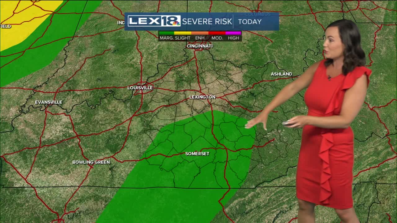
There is a marginal risk of severe thunderstorms for much of Kentucky on Sunday with the main threat as strong wind. Due to slow-moving cells, rain could also be very heavy and lightning frequent. Keep the forecast in mind as you plan your weekend outdoor activities. Once the front has passed Sunday night, we'll calm down Monday and dry back out as temperatures fall to the upper 70s/low 80s! Humidity will drop briefly too, but it doesn't take long for the end-of-June heat to turn back up for mid week as we see abundant sunshine trough Friday.
