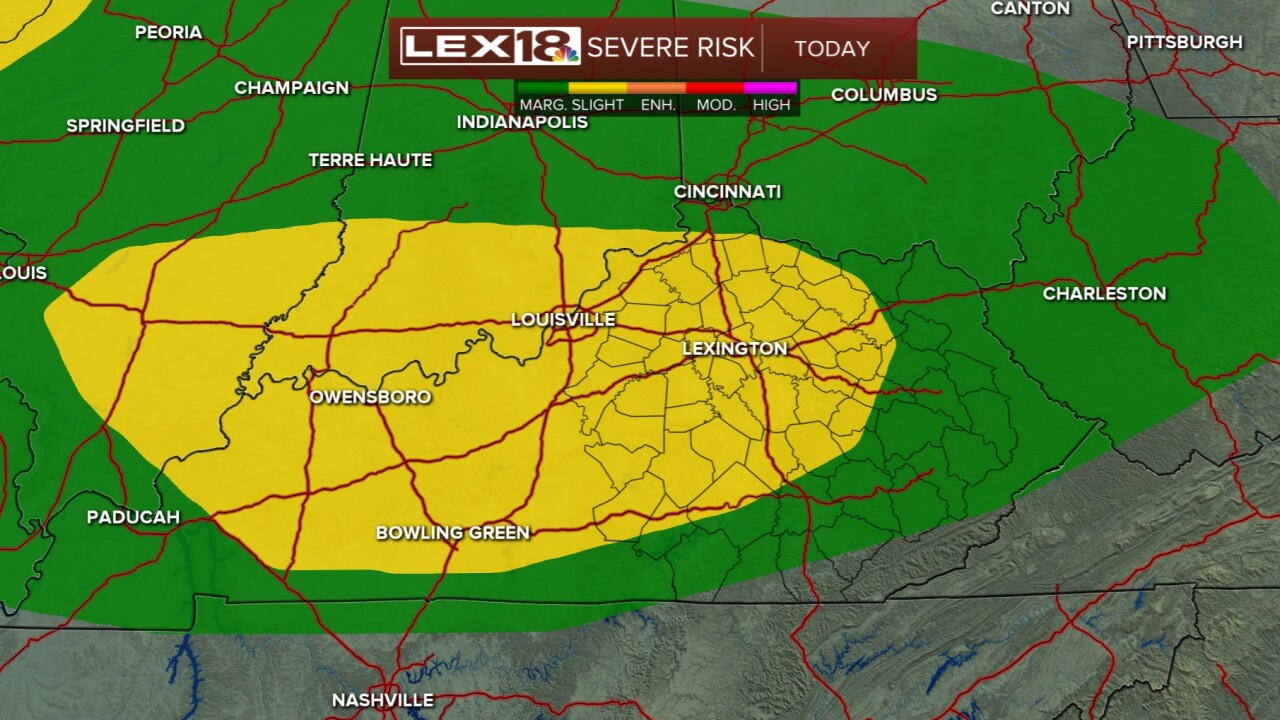


As the weather starts to heat up this weekend, we have a chance to see some rain and stronger thunderstorms this evening and tonight. Lexington and much of our area is under a slight risk for severe storms with the threats being strong winds and hail. Torrential rain is also likely at times. The best timing will be between 8 pm and midnight as the system works through central and northern KY and eventually out of the area by early Sunday morning. Sunday, then, looks to remain quiet and dry as we get more sunshine later in the day and temperatures really take off to the upper 80s. On Monday, we'll close in on 90 degrees! The record high that day is 92 degrees. Early work week is dry, but daily rain/thunderstorm chances arrive midweek and last through next weekend.
Storms with rain ahead late evening
A few storms could produce strong winds
