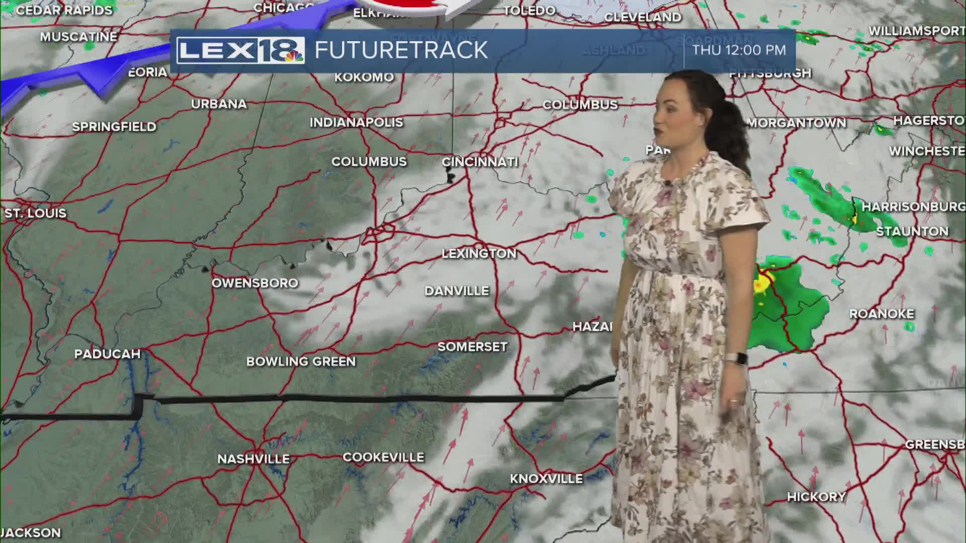


Our Thursday is underway and we have a quick line of showers (maybe a storm or two) that will pass along the Ohio River and through northern KY right around morning commute time. Once that disturbance passes, we'll dry out with sun for the afternoon as temperatures really take off up to around or just above 80 degrees. Yet again, we might see a record high broken and it will be windy with gusts up to 30-35 mph. Another sharp cold front will meander through on Friday bringing more rain and a few thunderstorms, but hopefully nothing strong or severe. Into the weekend, we quiet down again, but turn a lot cooler. Saturday's highs will only reach the 50s then back into 60s on Sunday.
