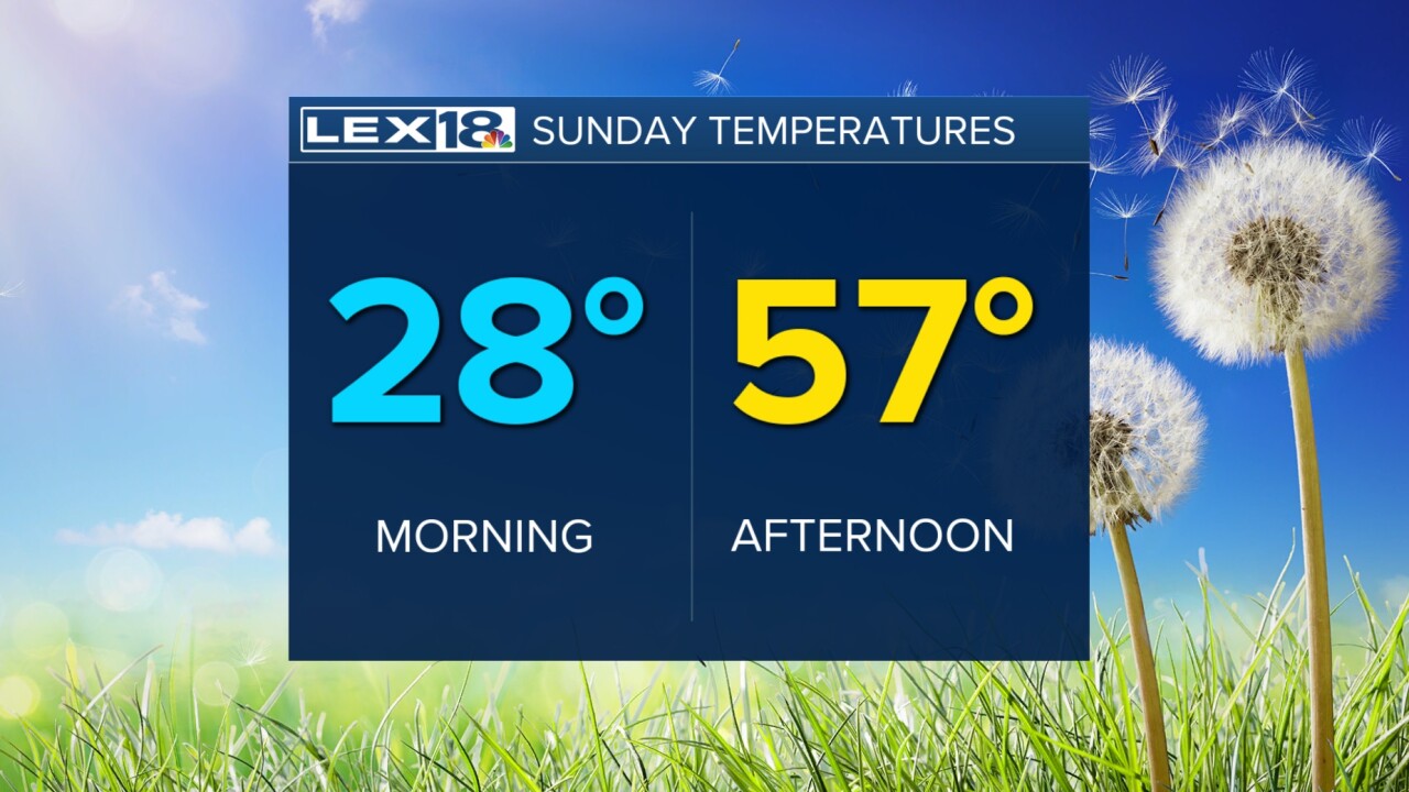


Today has been a chilly one, but at least we have seen a lot of sun. The clear sky overnight won't help anything, though, as temperatures will drop sharply to the upper 20s. Sunday will warm into the mid and upper 50s for the afternoon, with the low 60s possible in southern KY. We will have to deal with wind for a few more days. The temperature trend will continue to warm through Monday, that's when we will hit the upper 60s and stay dry. Our next round of active weather should arrive Tuesday bringing rain and thunderstorms to the area. That action may push into early Wednesday, but we quickly calm back down as we cool down too. Late next week looks warm again.
