
Other than a few flurries, we are finally saying “good riddance” to the winter storm that brought a mixed bag of precipitation across the forecast area. Snow and ice remain on some roads and certainly on cold surfaces and with temperatures staying below freezing today, it’s not going anywhere. Temperatures are starting in the teens and low 20s for most this morning. Wind chills have dropped to the single digits for a few, or near 10 degrees for others.
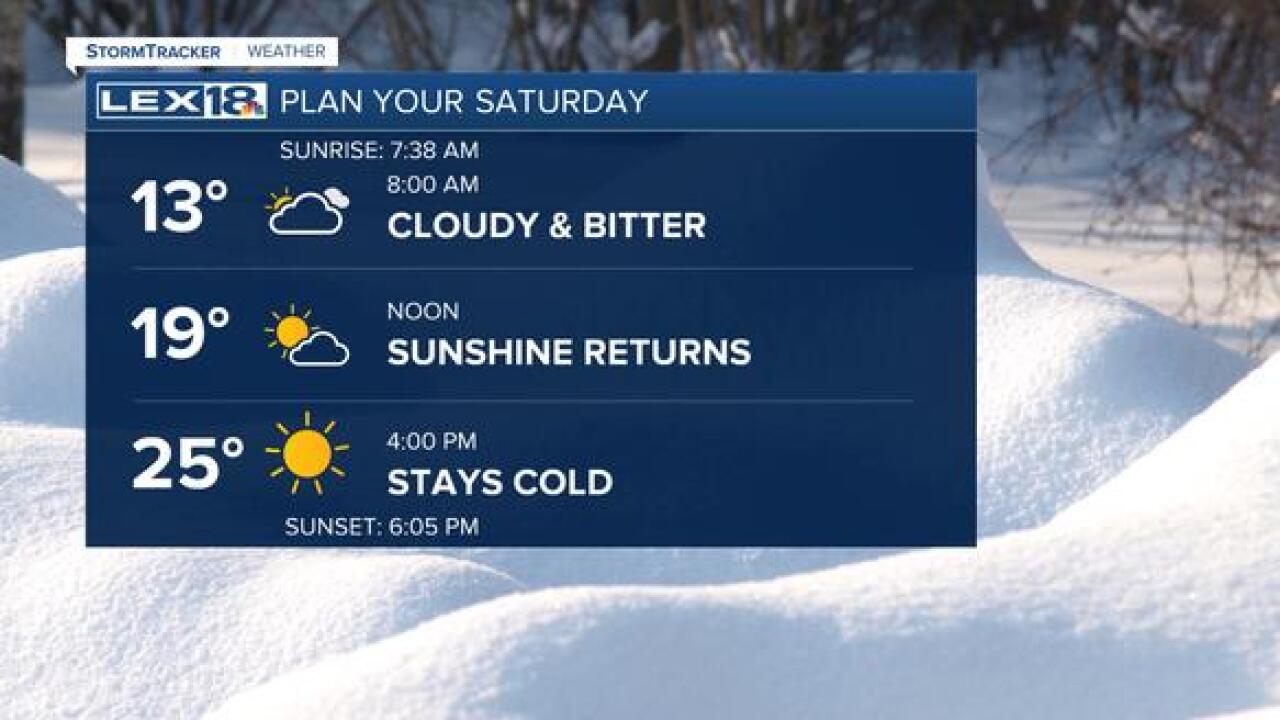
Saturday will eventually feature sunshine, after the morning cloud deck breaks up. High pressure behind the winter storm will keep us dry and sunny through the afternoon today and all of the day tomorrow. Flurries are possible, especially in eastern counties this morning. Most of the flakes are not making it to the ground, but a light clip of snow is not out of the question. Remember that low-priority and rural roads are still likely to have snow and ice in travel lanes. Even on treated and plowed roads, turn lanes and shoulders still have plenty of slippery spots. Caution should be exercised if you are planning to drive anywhere today. With temperatures remaining below freezing all day, snow and ice on cold surfaces will be staying put. The sunshine will help to warm the ground some but expect that sidewalks and driveways will still be icy through the day.
Tomorrow, temperatures have a real chance to warm up. We are going back up closer to seasonal normal for the end of the weekend. A cold front dives south with a clipper early in the work week, but with dry air in place, precipitation is unlikely. Clouds and cooler air are really the only change to the forecast for the early part of the work week. Temperatures will cool back into the 30s for highs Monday and Tuesday, but we warm back to seasonal normal for the rest of this uneventful week.
