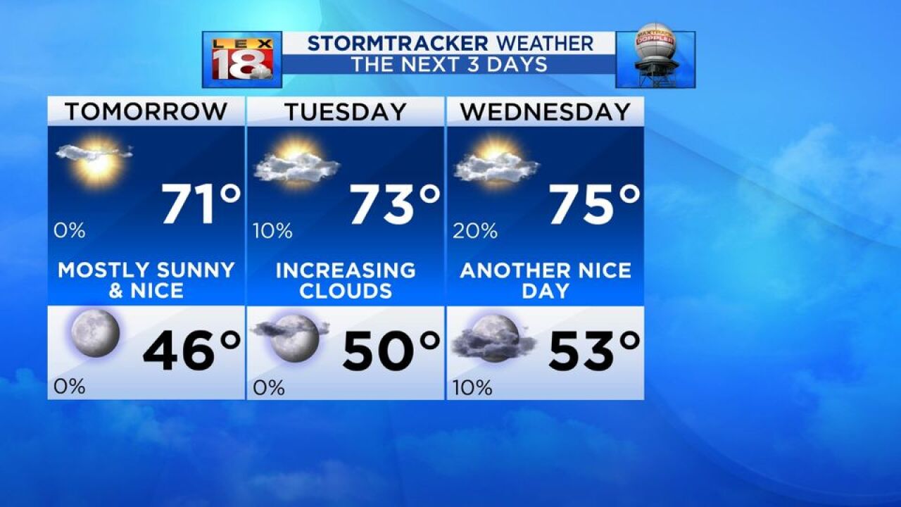
It’s been a wonderful Easter Sunday with sunshine and temperatures warming. Most locations reached 70 this afternoon, others got close. All of it was under abundant sunshine. If you’ve enjoyed today, we get to do it again, for another day or so.
The early part of the week will be met with similar conditions thanks to continued high pressure in the region. A weak cold front has been keeping a few more clouds present over the Ohio River counties, but we haven’t had much to do with that. We’ll be under the umbrella of a warm front in the upper Midwest, but we still get the benefits. Temperatures will routinely reach the 70s for the first three days of the work week and do so quickly thank to the sunshine that comes with it.
Clouds will increase Tuesday as the high pressure starts breaking down, but we still don’t see much for precipitation. The next best chance comes with a front traveling from the Plains. It will arrive on Thursday bringing rain showers and a few storms. Temperatures will only cool a few degrees, mainly due to cloud coverage. Showers will hang around Friday and again on Saturday as another low takes a shot at us.


