Another chilly morning with a few showers around; nothing heavy, mostly mist. It’s just been a gloomy weekend, but the good news is we see more sun today! Temperatures will warm more as well and you can expect the low 60s this afternoon. For now, we reside in the 40s. Clouds are still abundant overhead.
We’re tracking a small Canadian clipper for today. What that means is a very small, quick-hitting system that wont bring us much except a brief cool down for the start of the work week. So today, expect clouds midday with a few showers around. Before the clouds move in we should get some sunshine, and maybe even some late day sun before it goes to bed. The beginning of the week will be cooler, but better looking. More sun for Monday and Tuesday with a quick hit of high pressure. Now, not to jinx anything, but latest model trends are showing that the midweek cold front is stalling a bit. What that means is that we could potentially be getting the trick-or-treating in before the rain arrives. Rain is looking to get here sometime in the late evening Wednesday and storms will continue overnight into Thursday. That front will bring a bigger cool down and we should be back to feeling like late fall as we move into November.
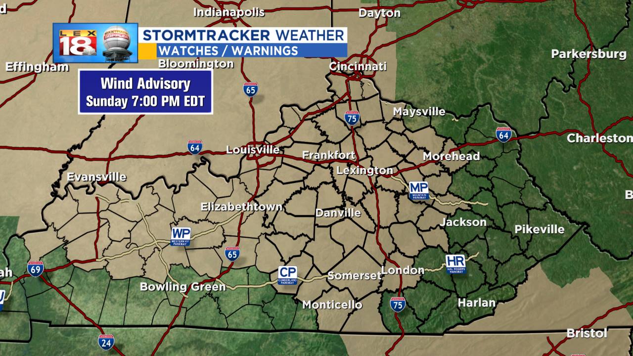
WIND ADVISORY runs from the late morning through the evening today. Wind will shift from the southwest to the west and will run sustained from 10-25 mph and gusts as high as 45 mph are possible. Use caution on roads as driving could be difficult. High profile vehicles driving north-south will have strong crosswinds to deal with.