

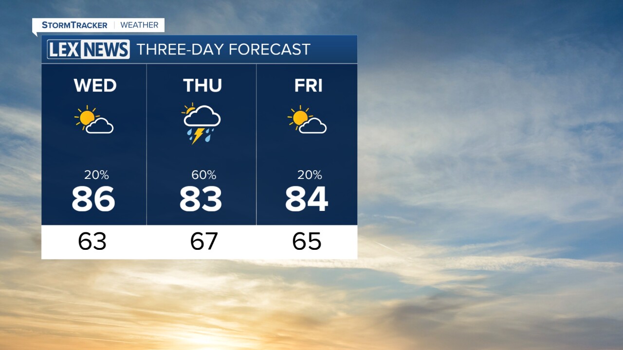


After a very active stretch of weather, Tuesday is giving us a much-needed break across Central and Eastern Kentucky. We are finally dry, temperatures are more comfortable and the humidity isn't nearly as noticeable as what we've experienced over the past week.
Sunshine and comfortable temperatures Tuesday
Tuesday afternoon is looking much better, with plenty of sunshine and temperatures generally sitting in the low to mid 80s. High pressure remains in control for now, keeping us dry through the rest of the afternoon and into tonight.
Skies should remain mostly clear for much of the night, with temperatures cooling off nicely. Some patchy fog could develop by early Wednesday morning, especially in the typical valleys and low-lying areas.
Clouds increase Wednesday
Wednesday will start off quiet, but you will notice some changes as we go throughout the day.
An approaching weather system will bring increasing cloud cover into the region Wednesday morning, and those clouds could stick around through at least the middle of the afternoon. Despite the clouds, much of the daytime hours should remain dry.
Our better opportunity for showers and thunderstorms arrives later Wednesday evening and especially overnight Wednesday into Thursday morning.
Showers and storms return Wednesday night
Rain chances increase Wednesday night into early Thursday as another disturbance moves through the Ohio Valley.
A few thunderstorms will also be possible. The overall severe weather threat remains low, but areas farther west, especially west of I-65, are under a Level 1 of 5 Marginal Risk for severe weather. An isolated stronger storm could produce gusty winds or hail.
There will also be plenty of moisture available for some locally heavy rainfall. While an isolated flooding issue cannot completely be ruled out, the overall flash flooding threat currently appears low.
Lingering rain chances into Thursday
Some showers and storms could linger into Thursday morning before gradually moving southeast. Depending on exactly where the front settles, a few additional showers or thunderstorms could redevelop Thursday afternoon, particularly across Southern Kentucky.
After that, most locations should get another break from the rain Thursday into Friday. A small chance for showers and storms could return across areas near and east of I-75 Friday afternoon and evening.
