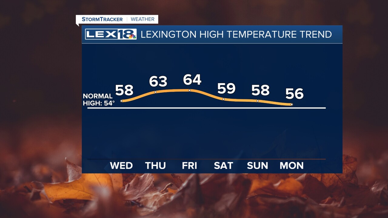
After that soggy Tuesday and a foggy Wednesday morning, we'll end up cloudy and cool Wednesday afternoon with highs in the mid to upper 50s. Watch for patchy drizzle and isolated showers, especially earlier in the day. Our midweek break from active weather doesn't last long. Additional rounds of rain will develop Thursday evening, continue overnight and through the day Friday, and finally wind down Saturday morning. Storms won't be as widespread with this second wave, but rumbles of thunder and locally heavy rain will be possible. We'll pick up another 0.5" to 1" of rain heading into the weekend. Highs will stay in the low to mid 60s Thursday and Friday and fall back to the 50s after a cold front passes Saturday.


