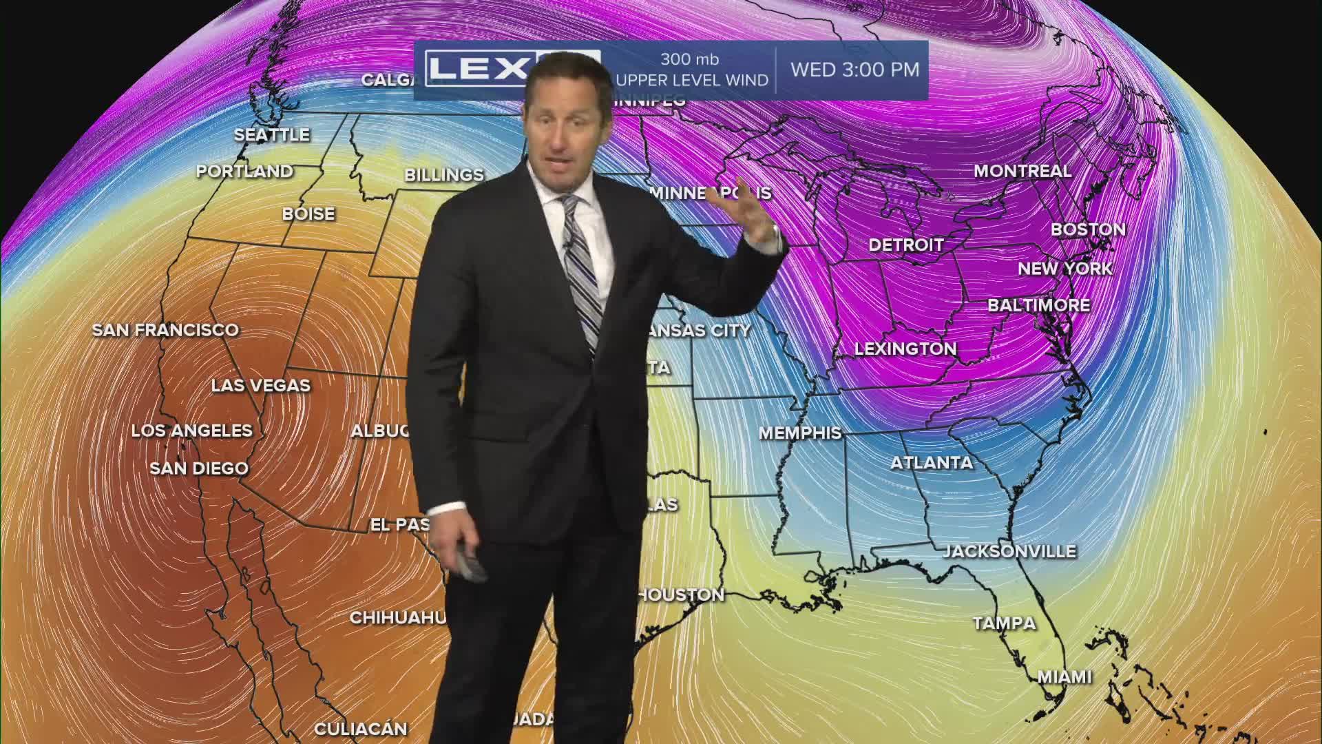


A warm front pushes into the Commonwealth midweek bringing extensive cloud cover, a few snow to rain showers, and less cold highs in the 40s thanks to a strong south wind. The warmup continues Thursday with isolated showers and sprinkles with highs in the low to mid 60s. High pressure takes over just in time for the weekend and the beginning of spring. Highs will soar to the upper 60s Friday and into the 70s Saturday and Sunday with plenty of sunshine. We're back in the 50s with a rising rain chance early next week.
