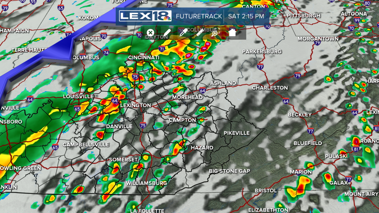


Happy Saturday! It will be another warm day, with highs in the 70s before a strong cold front passes through the Commonwealth. Along this front, showers and storms will be present. A few of these could be strong to severe. West of the I-65 corridor could see these storms as early as noon. Strong-to-severe wind gusts are the primary threat, with small hail possible. By the evening, the severe threat will be over, making way to a cooler evening and a warm Sunday with highs in the lower 60s. By the workweek, highs will return to the 70s, with a chance of another strong cold front arriving on Wednesday.
A few strong storms are possible on Saturday
Isolated strong wind gusts are the primary threats
