

Happy Monday! We are looking at another hot and humid day, with highs reaching the upper 80s and heat indices in the middle to upper 90s. High pressure will dominate Monday, keeping us mostly dry with a mixture of sunshine and clouds. A few of us may see a spot shower or storm in the afternoon, but it will be very isolated. Tuesday will be a different story as a cold front will pass through the Commonwealth. We will see scattered showers and storms throughout the day, with chances of severe weather increasing into Tuesday afternoon. Our most likely hazard will be strong wind gusts, but we cannot rule out a spin-up tornado or isolated large hail. The front will leave the Commonwealth in the evening, leaving a few showers and storms lingering into the overnight hours. The rest of the workweek will be quiet and cooler with highs in the lower 80s.
A hot and humid Monday
Highs to reach the upper 80s with heat indices in the 90s.
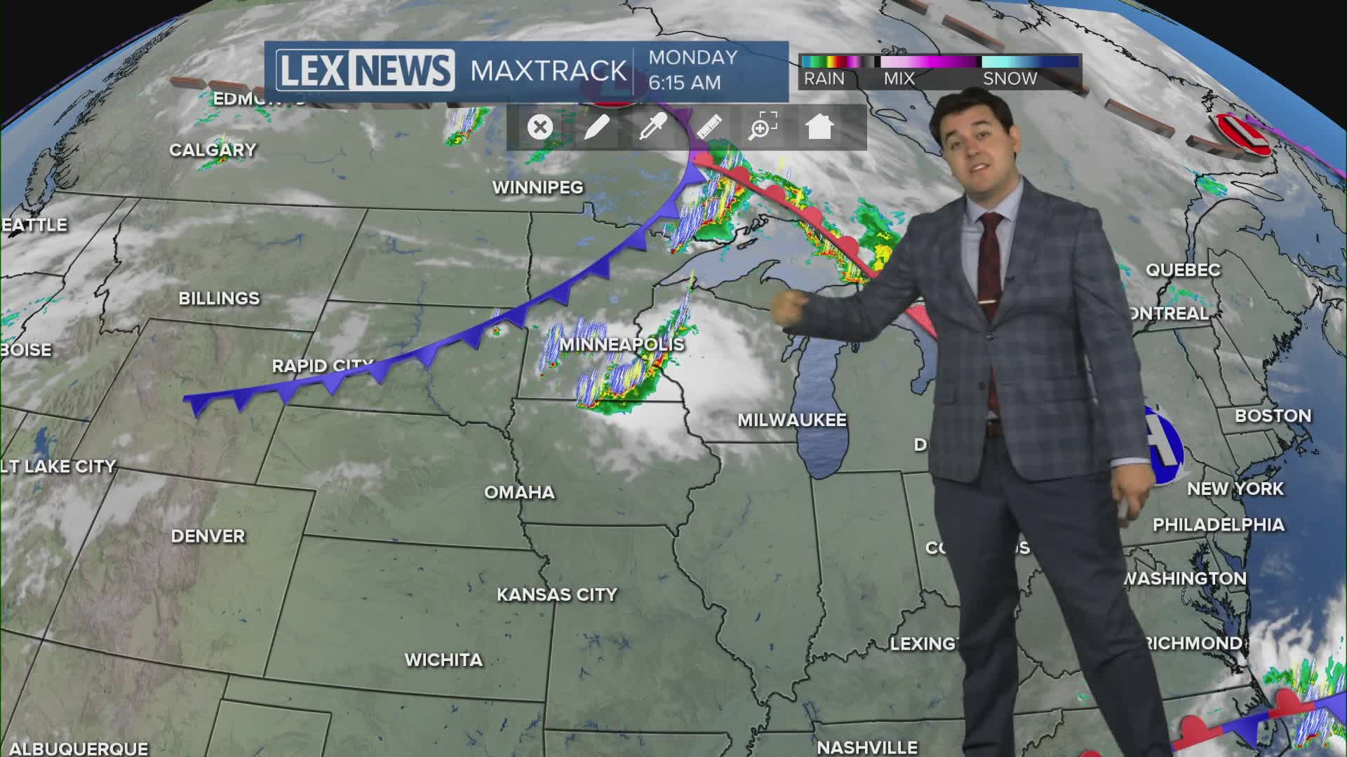
WEATHER: Happy Monday! We are looking at another hot and humid day, with highs reaching the upper 80s and heat indices in the middle to upper 90s.


Posted
and last updated
