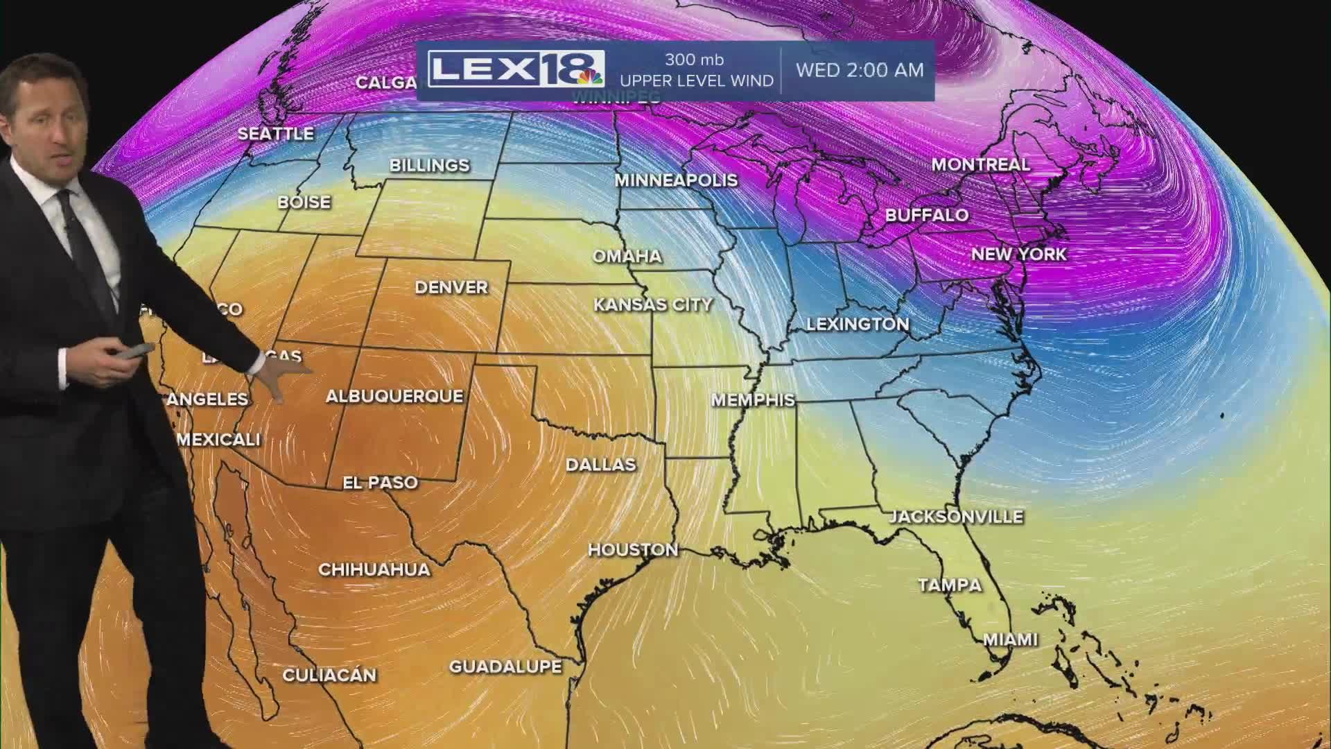


High pressure dominates Tuesday with near normal highs in the upper 50s and plenty of afternoon sunshine. As that high slides east a south/southwest wind kicks in midweek and we'll start a rapid warming trend. Highs will climb to the upper 60s Wednesday with partly sunny skies and spike around 80° Thursday. Our next round of active weather develops Thursday night into Friday with showers and strong to storms possible and a weekend cool down to follow.
A Near Normal Tuesday
Warmer Midweek, More Showers and Storms Thursday Night,Friday
