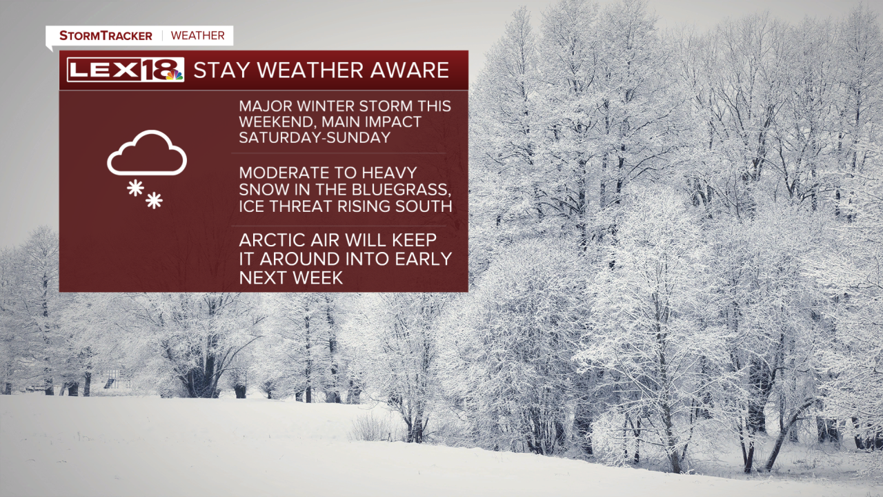
Our wet Wednesday will close out to a cooler evening as a cold front moves out of the Commonwealth. Wednesday evening will be cooler, with overnight lows in the upper 20s, before we have a quiet Thursday and Friday. By the end of the workweek, highs will start to plummet to the 20s and eventually the single digits ahead of our winter storm.
This weekend will be an adventure as a potentially strong winter storm moves through the region. The NWS has issued a Winter Storm Watch for all of Kentucky ahead of the storm. We are still too far out to determine totals, but expect significant travel impacts for the Commonwealth and the Deep South. As we get closer, we will narrow down totals and other impacts from this system. It will be crucial to stay weather-aware as we get closer to the weekend.


