


We're starting off the weekend feeling like we're still in the depths of summer, but there are some big changes heading our way. Expect a partly to mostly sunny Friday with well above normal highs in the low to mid 80s. Saturday brings increasing cloud cover, highs in the upper 70s and scattered showers and storms developing, mainly in the afternoon and evening. We'll need to watch for a few strong to severe storms (damaging wind & hail) Saturday night north of I-64. Behind the front, a return to spring reality with highs crashing to below normal early next week. Sunday will be windy and very cool with highs around 60°. Watch for patchy frost Monday morning as lows drop to the mid to upper 30s.
A Summery Start to the Weekend
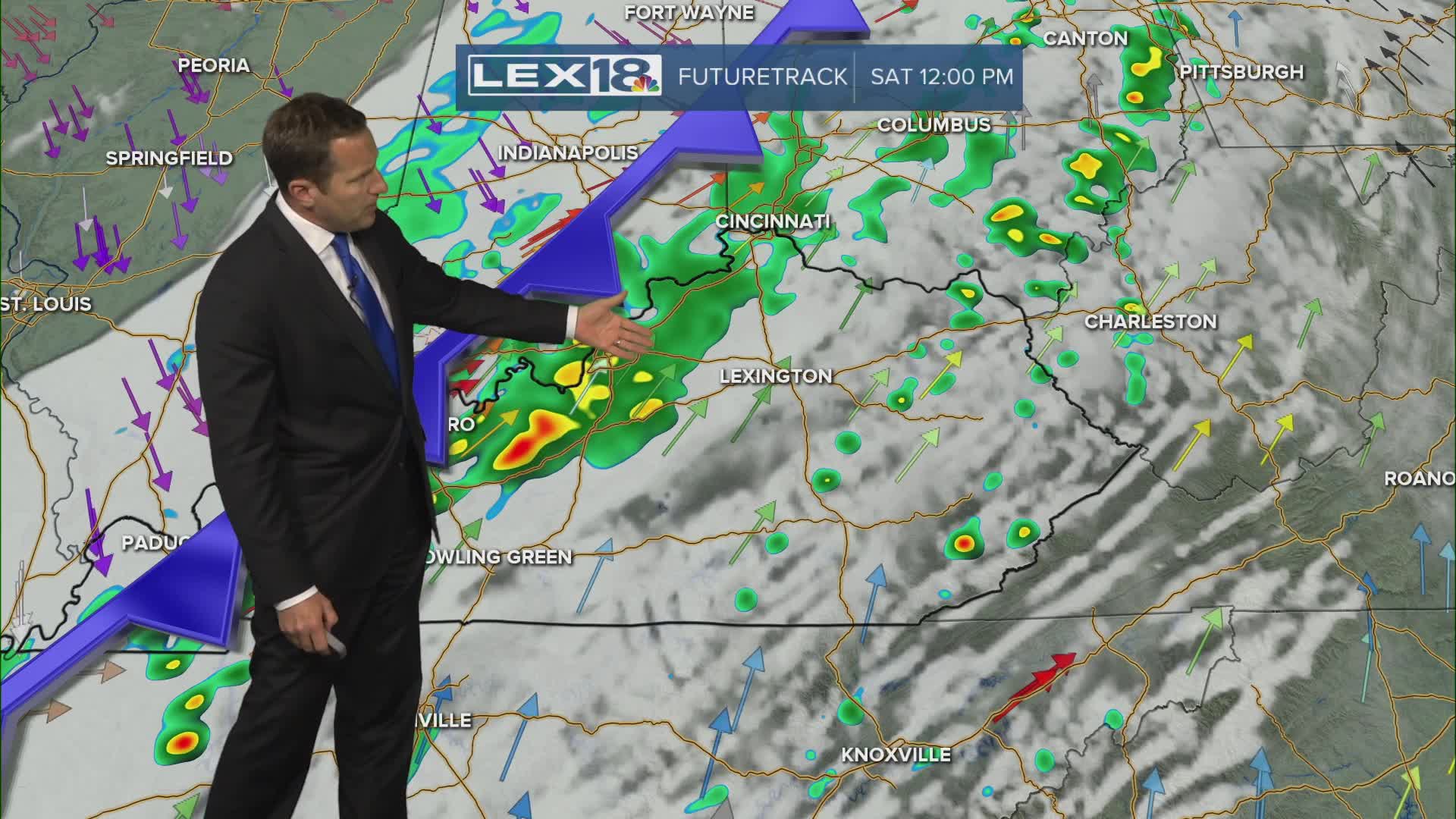
But We Have Showers, Storms and Much Cooler Air Inbound
