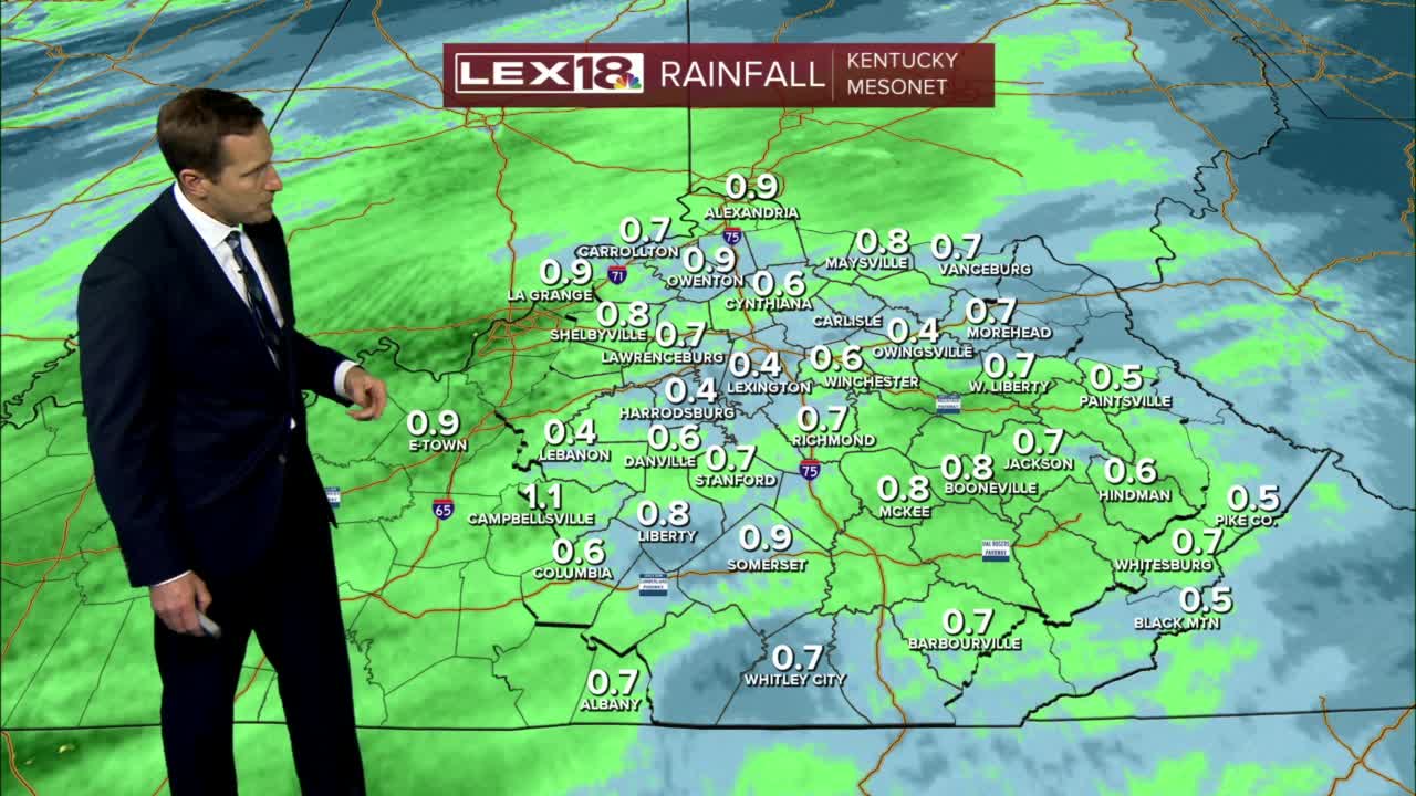
Active weather fired up early Tuesday morning with a round of showers and storms drifting east. We'll see a late morning/early afternoon break in the action which will allow for increased instability with additional development likely later Tuesday afternoon into the evening. Watch for strong to a few severe storms with damaging wind gusts and torrential rain. A flood watch remains in effect through early Wednesday morning. Tuesday will also end up balmy thanks to a gusty (35-45 mph) south wind and above average highs well into the 60s. Expect a brief break Wednesday, mostly to partly cloudy and chillier with highs in the upper 40s. Another round of widespread rain (heavy at times) will impact the area Wednesday night through Thursday night. We'll trend cold enough to see an occasional wintry mix, mainly at the onset of the precipitation and again as it winds down.


